
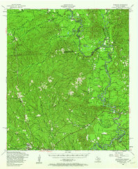
1954 Map of Wiergate
USGS Topo · Published 1958About this map
The Sabine River dominates this mid-century landscape, carving a serpentine border between Texas and Louisiana. The river's influence is seen in the countless oxbow lakes and backwaters that dot the floodplain, including Alligator Lake, Horseshoe Lake, and the sprawling Sibo Brake. On the Texas side, the Sabine National Forest blankets the rolling uplands of Newton and Sabine Counties, where high points like Foxhunters Hill and Hickory Ridge rise above the drainage of Sixmile Creek.
Find a feature on this map
85 named features on this map. Tap any name to fly to it.
Don’t see what you’re looking for? This feature index may not catch every label — zoom into the map to look around manually.
Map Details
Editions of this 1954 Wiergate Map
Other maps of this area

1941 · Leesville
USGS Topo · 1:62,500

1942 · Florien
USGS Topo · 1:62,500

1943 · Leesville
USGS Topo · 1:62,500

1944 · Negreet
USGS Topo · 1:62,500

1944 · Wiergate
USGS Topo · 1:62,500

1944 · Florien
USGS Topo · 1:62,500

1946 · Leesville
USGS Topo · 1:62,500

1947 · Knight
USGS Topo · 1:31,680

1948 · Leesville
USGS Topo · 1:62,500

1948 · Wiergate
USGS Topo · 1:62,500