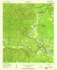
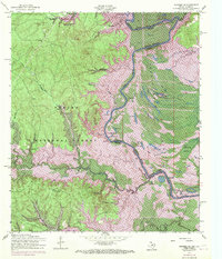
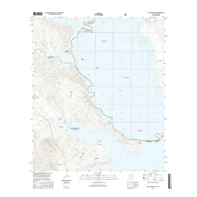
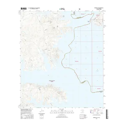
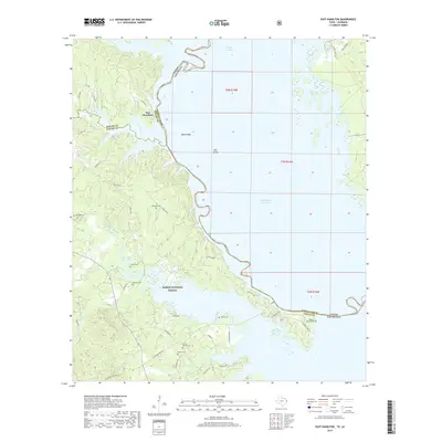
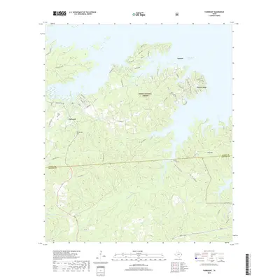
1954 Map of Columbus
USGS Topo · Published 1958About this map
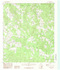
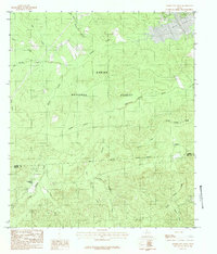
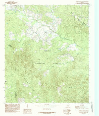
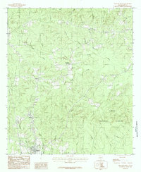
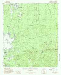
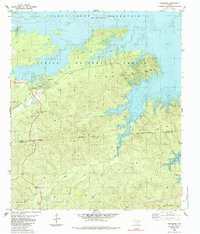
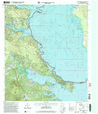
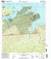
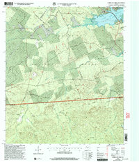
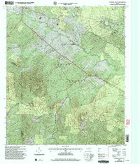
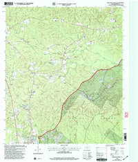
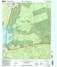
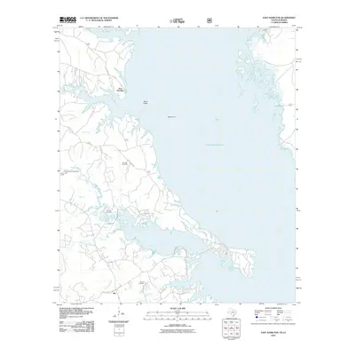
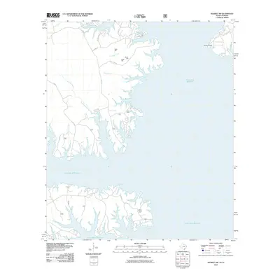
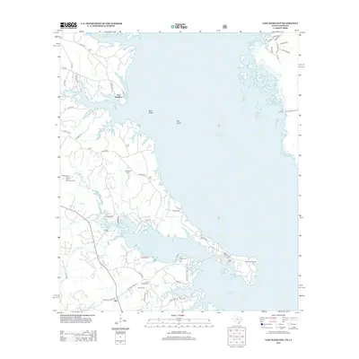
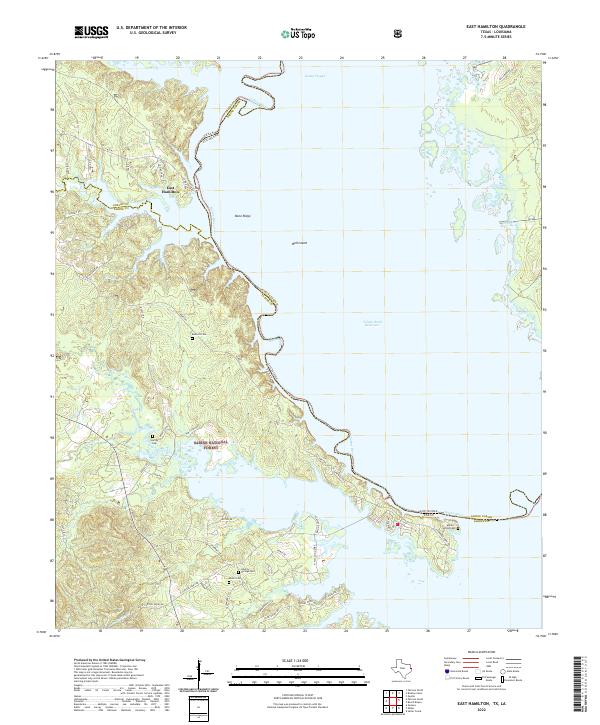
The Sabine River serves as the winding border between Texas and Louisiana in this mid-1950s survey, illustrating a landscape defined by its waterways and dense woodlands. Within the Sabine National Forest, the terrain is marked by prominent elevations like Rock Hill and Mose Hill, while the river lowlands are characterized by a complex network of oxbows and backwaters including Cutoff Lake, Gum Lake, and Harpers Bend. A notable infrastructure feature is the dismantled railroad that traces a path through the timberlands, hinting at a shift away from earlier logging or industrial transport methods in the area.
Find a feature on this map
48 named features on this map. Tap any name to fly to it.
Don’t see what you’re looking for? This feature index may not catch every label — zoom into the map to look around manually.
Map Details
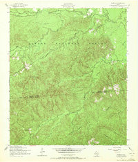
Editions of this 1954 Columbus Map
3 editions found
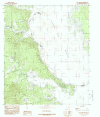
Historical Maps of Sabine Parish Through Time
55 maps found
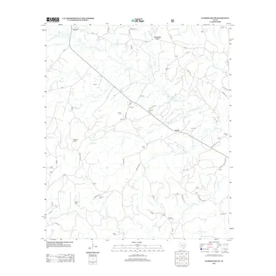
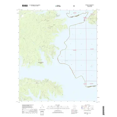
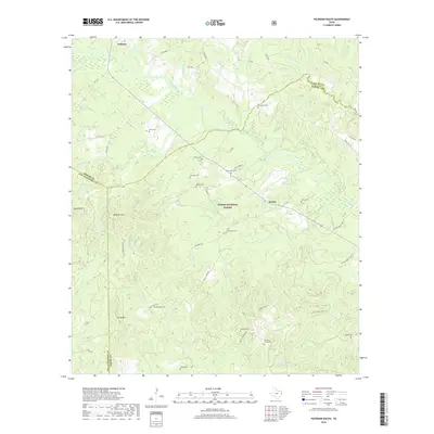
1954 Fairdale
Sabine County, TX

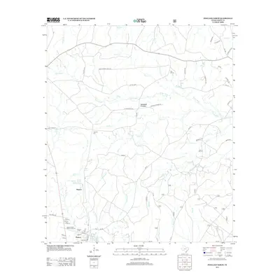
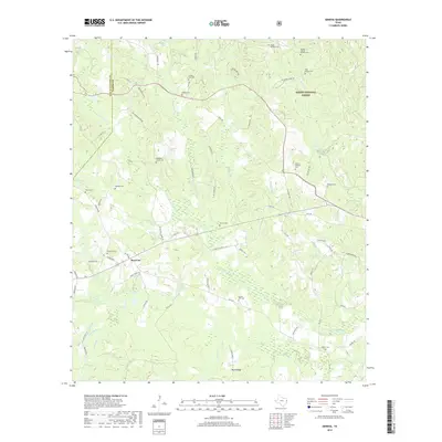
1954 Negreet SW
Sabine County, TX
1984 East Hamilton
Sabine County, TX
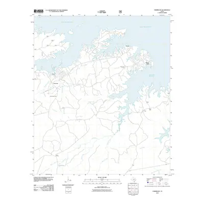
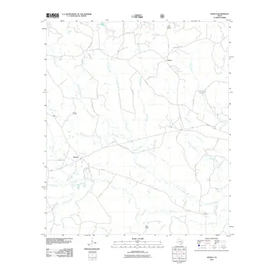
1984 Geneva
Sabine County, TX
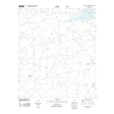
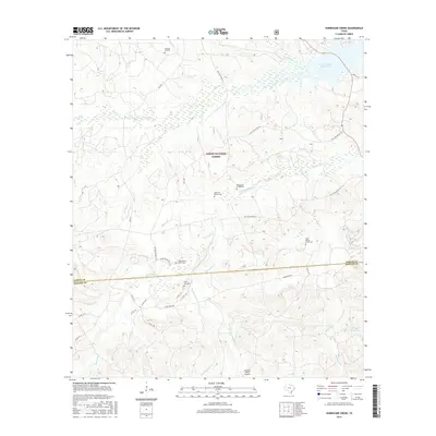
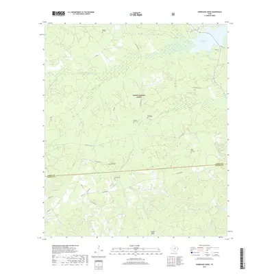
1984 Hurricane Creek
Sabine County, TX
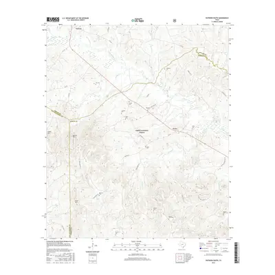
1984 Patroon South
Sabine County, TX
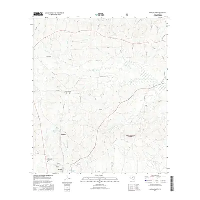
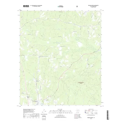
1984 Pineland North
Sabine County, TX
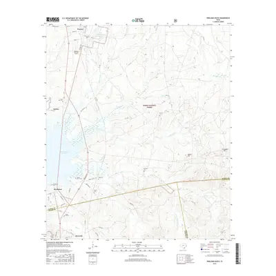
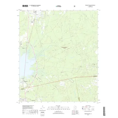
1984 Pineland South
Sabine County, TX
1985 Fairmount
Sabine County, TX
2003 East Hamilton
Sabine County, TX
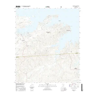
2003 Fairmount
Sabine County, TX
2003 Hurricane Creek
Sabine County, TX
2003 Patroon South
Sabine County, TX
2003 Pineland North
Sabine County, TX
2003 Pineland South
Sabine County, TX
2010 East Hamilton
Sabine County, TX
2010 Fairmount
Sabine County, TX
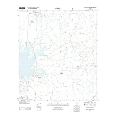
2010 Geneva
Sabine County, TX
2010 Hurricane Creek
Sabine County, TX
2010 Negreet SW
Sabine County, TX
2010 Patroon South
Sabine County, TX
2010 Pineland North
Sabine County, TX
2010 Pineland South
Sabine County, TX
2012 East Hamilton
Sabine County, TX

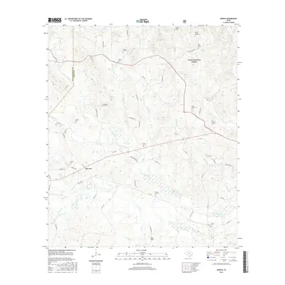
2012 Fairmount
Sabine County, TX
2012 Geneva
Sabine County, TX
2012 Hurricane Creek
Sabine County, TX
2012 Negreet SW
Sabine County, TX
2012 Patroon South
Sabine County, TX
2012 Pineland North
Sabine County, TX
2012 Pineland South
Sabine County, TX
2016 East Hamilton
Sabine County, TX
2016 Fairmount
Sabine County, TX
2016 Geneva
Sabine County, TX
2016 Hurricane Creek
Sabine County, TX
2016 Negreet SW
Sabine County, TX
2016 Patroon South
Sabine County, TX
2016 Pineland North
Sabine County, TX
2016 Pineland South
Sabine County, TX
2019 East Hamilton
Sabine County, TX
2019 Fairmount
Sabine County, TX
2019 Geneva
Sabine County, TX
2019 Hurricane Creek
Sabine County, TX
2019 Negreet SW
Sabine County, TX
2019 Patroon South
Sabine County, TX
2019 Pineland North
Sabine County, TX
2019 Pineland South
Sabine County, TX
2022 East Hamilton
Sabine County, TX
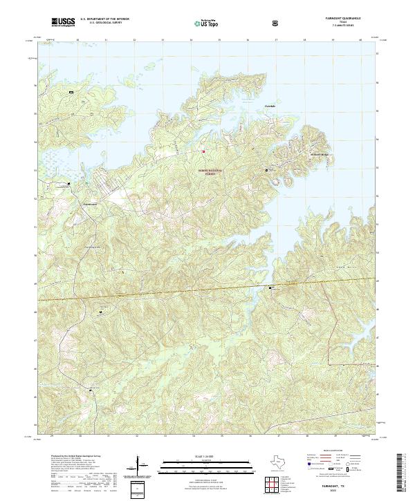
2022 Fairmount
Sabine County, TX
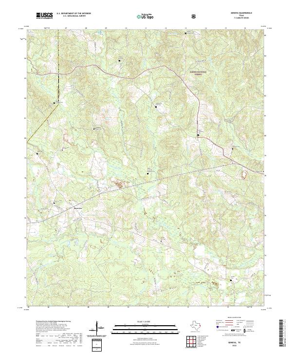
2022 Geneva
Sabine County, TX
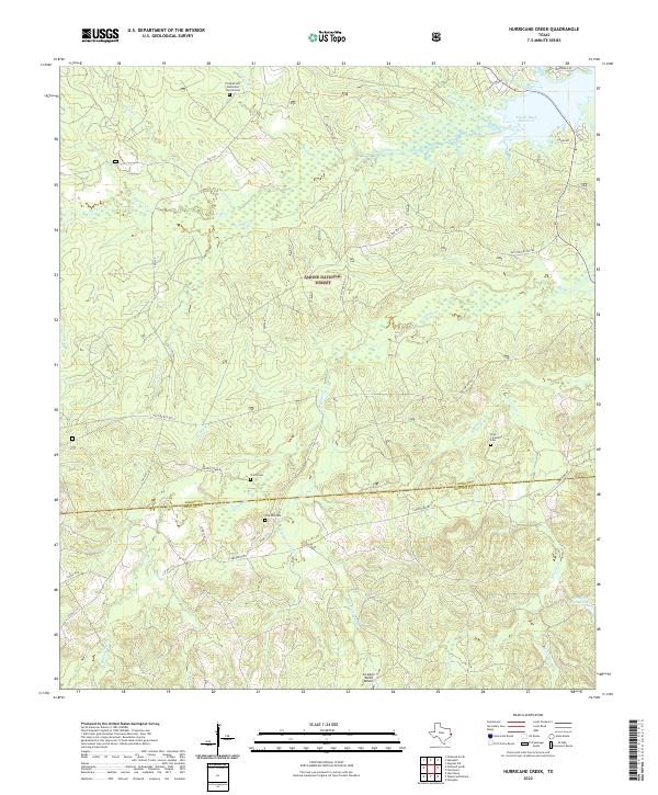
2022 Hurricane Creek
Sabine County, TX
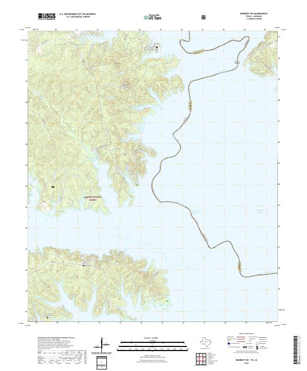
2022 Negreet SW
Sabine County, TX
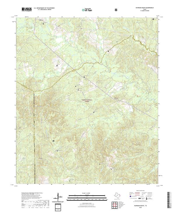
2022 Patroon South
Sabine County, TX
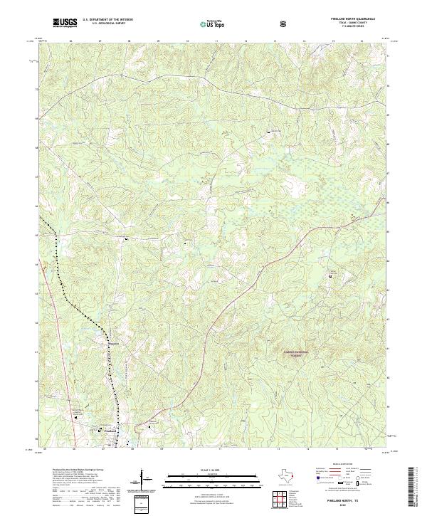
2022 Pineland North
Sabine County, TX
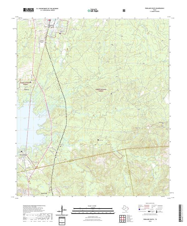
2022 Pineland South
Sabine County, TX