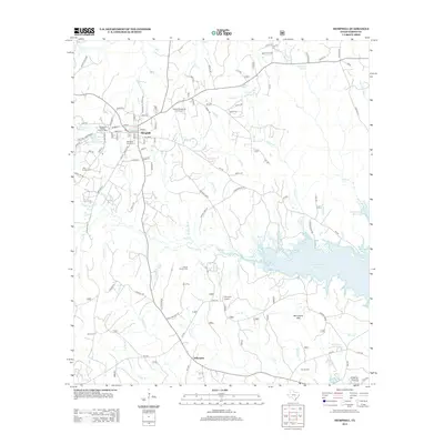
2012 Map of Hemphill
USGS Topo · Published 2012About this map
Hemphill serves as the focal point of this Sabine County landscape, where the street grid of the town center meets the winding tributaries of the Toledo Bend Reservoir. This survey reflects the region's historical reliance on the land, with the Yellowpine Ranger District Office and the Yellowpine Lookout indicating the significance of forestry and resource management in East Texas. The terrain is marked by prominent elevations such as Smith Hill and Coon Hill, while the southeastern portion of the map is dominated by the sprawling reach of the reservoir and its numerous branches, including Staveyard Br and Pot Br.
Find a feature on this map
119 named features on this map. Tap any name to fly to it.
Don’t see what you’re looking for? This feature index may not catch every label — zoom into the map to look around manually.
Map Details
Editions of this 2012 Hemphill Map
This is the sole edition of this map. No revisions or reprints were ever made.
Other maps of this area

1944 · Negreet
USGS Topo · 1:62,500

1944 · Wiergate
USGS Topo · 1:62,500

1948 · Wiergate
USGS Topo · 1:62,500

1953 · Alexandria
USGS Topo · 1:250,000

1954 · Columbus
USGS Topo · 1:24,000

1954 · Fairdale
USGS Topo · 1:24,000

1954 · Negreet
USGS Topo · 1:62,500

1954 · Wiergate
USGS Topo · 1:62,500

1954 · Salter Creek
USGS Topo · 1:24,000

1955 · Alexandria
USGS Topo · 1:250,000