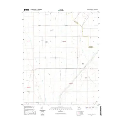
2015 Map of Henderson Mound
USGS Topo · Published 2015About this map
Henderson Mound and the surrounding agricultural lowlands of the Missouri Bootheel define this landscape in the mid-2010s. The area is heavily managed by a network of drainage infrastructure, including the prominent Saint Johns Ditch, Ash Ditch, and Spillway Ditch, which redirect water across the flat terrain of New Madrid County and Mississippi County. Small settlements like Selkirk and Farrenburg serve as local hubs within a grid of county highways and rural routes. Family history and local heritage are anchored by sites such as Cole Cemetery and Barnes Cemetery, while the Henderson Mounds E B G Airport provides a modern utility to this productive landscape. The presence of Black Bayou and Barnes Ridge highlights the subtle natural variations that remain amidst a heavily engineered rural environment.
Find a feature on this map
39 named features on this map. Tap any name to fly to it.
Don’t see what you’re looking for? This feature index may not catch every label — zoom into the map to look around manually.
Map Details
Editions of this 2015 Henderson Mound Map
This is the sole edition of this map. No revisions or reprints were ever made.
Other maps of this area
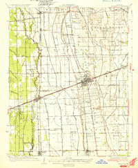
1931 · Sikeston
USGS Topo · 1:62,500
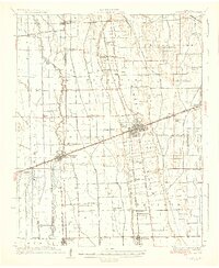
1934 · Sikeston
USGS Topo · 1:62,500
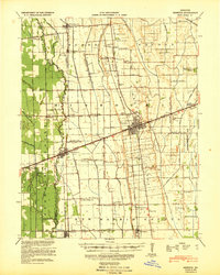
1939 · Sikeston
USGS Topo · 1:62,500
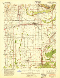
1939 · Charleston
USGS Topo · 1:62,500
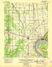
1939 · New Madrid
USGS Topo · 1:62,500
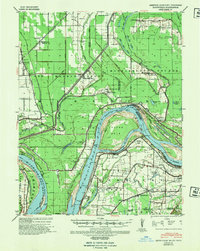
1939 · Bayouville
USGS Topo · 1:62,500
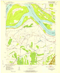
1951 · Bondurant
USGS Topo · 1:24,000
1951 · New Madrid SE
USGS Topo · 1:24,000
1951 · Hubbard Lake
USGS Topo · 1:24,000
1954 · Charleston
USGS Topo · 1:62,500