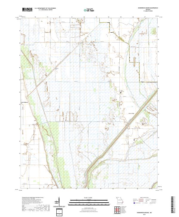
2021 Map of Henderson Mound
USGS Topo · Published 2021About this map
Saint Johns Ditch and Ash Ditch slice through the low-lying agricultural landscape of New Madrid and Mississippi counties, illustrating the extensive drainage systems required for modern farming in the Bootheel. The terrain is characterized by these engineered waterways and the presence of Henderson Mound, a localized elevation that stands out against the surrounding flats.
Find a feature on this map
34 named features on this map. Tap any name to fly to it.
Don’t see what you’re looking for? This feature index may not catch every label — zoom into the map to look around manually.
Map Details
Editions of this 2021 Henderson Mound Map
This is the sole edition of this map. No revisions or reprints were ever made.
Other maps of this area

1931 · Sikeston
USGS Topo · 1:62,500

1934 · Sikeston
USGS Topo · 1:62,500

1939 · Sikeston
USGS Topo · 1:62,500

1939 · Charleston
USGS Topo · 1:62,500

1939 · New Madrid
USGS Topo · 1:62,500

1939 · Bayouville
USGS Topo · 1:62,500

1951 · Bondurant
USGS Topo · 1:24,000

1951 · New Madrid SE
USGS Topo · 1:24,000

1951 · Hubbard Lake
USGS Topo · 1:24,000

1954 · Charleston
USGS Topo · 1:62,500