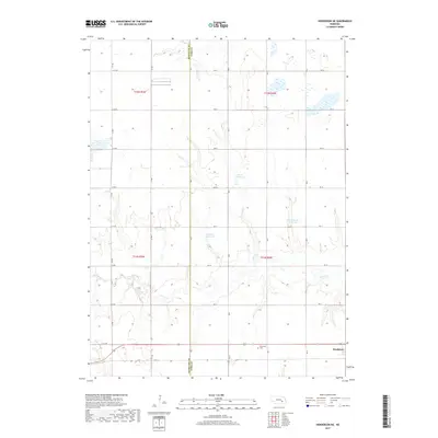
2017 Map of Henderson NE
USGS Topo · Published 2017About this map
The agricultural plains of the York County and Hamilton County border define this landscape, where a grid of section roads like RD 20 and RD 17 organizes the terrain. The village of Bradshaw sits in the southeast corner, serving as a primary settlement point for the surrounding farming community. Water management is a critical feature of this prairie environment, evidenced by several man-made catchments including Stuhr Reservoir, Driewer Reservoir, and Rech-Smith Reservoir. These water bodies, along with the meandering path of Lincoln Cr, illustrate the efforts to control and utilize surface water in a region defined by its productive soil. For genealogists and local historians, the Plainfield Cem remains a significant landmark along the southern road network, preserving the heritage of the early residents who established these township lines.
Find a feature on this map
26 named features on this map. Tap any name to fly to it.
Don’t see what you’re looking for? This feature index may not catch every label — zoom into the map to look around manually.
Map Details
Editions of this 2017 Henderson NE Map
This is the sole edition of this map. No revisions or reprints were ever made.
Other maps of this area

1896 · Stromsburg
USGS Topo · 1:125,000

1898 · York
USGS Topo · 1:125,000

1899 · York
USGS Topo · 1:125,000

1955 · Fremont
USGS Topo · 1:250,000

1955 · Lincoln
USGS Topo · 1:250,000

1957 · Fremont
USGS Topo · 1:250,000

1957 · Lincoln
USGS Topo · 1:250,000

1958 · Fremont
USGS Topo · 1:250,000

1958 · Lincoln
USGS Topo · 1:250,000

1962 · Polk
USGS Topo · 1:24,000