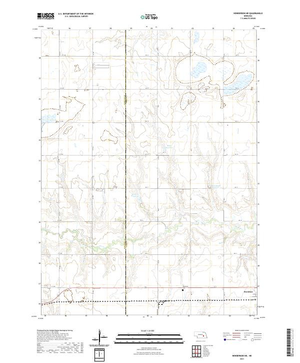
2021 Map of Henderson NE
USGS Topo · Published 2021About this map
The agricultural landscape along the Hamilton Co York Co border is defined by a grid of rural section roads and the winding course of Lincoln Cr. Near the southern edge of the map, the town of Bradshaw serves as a local hub, situated just east of the Plainfield Cem. The terrain is punctuated by several water management features, including Stuhr Reservoir, Driewer Reservoir, and Rech-Smith Reservoir, which reflect the region's managed drainage and irrigation practices. This topographic survey captures the organized township and range layout of T11N R4W and T12N R4W, documenting the precise placement of local thoroughfares like RD 20 and RD B that connect isolated farmsteads across the Nebraska plains.
Find a feature on this map
32 named features on this map. Tap any name to fly to it.
Don’t see what you’re looking for? This feature index may not catch every label — zoom into the map to look around manually.
Map Details
Editions of this 2021 Henderson NE Map
This is the sole edition of this map. No revisions or reprints were ever made.
Other maps of this area

1896 · Stromsburg
USGS Topo · 1:125,000

1898 · York
USGS Topo · 1:125,000

1899 · York
USGS Topo · 1:125,000

1955 · Fremont
USGS Topo · 1:250,000

1955 · Lincoln
USGS Topo · 1:250,000

1957 · Fremont
USGS Topo · 1:250,000

1957 · Lincoln
USGS Topo · 1:250,000

1958 · Fremont
USGS Topo · 1:250,000

1958 · Lincoln
USGS Topo · 1:250,000

1962 · Polk
USGS Topo · 1:24,000