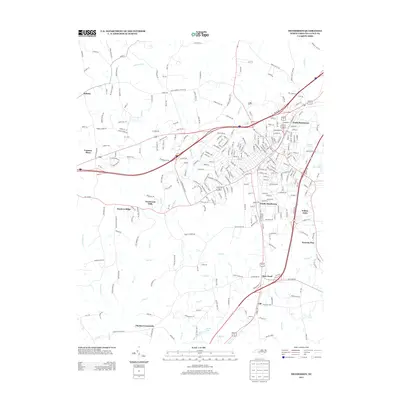
2013 Map of Henderson
USGS Topo · Published 2013About this map
North Henderson and South Henderson anchor this Vance County landscape, which shows the dense street grids and established neighborhoods of the early 21st century. The map reveals the intricate development patterns of residential areas like Westwood Hills, Hunters Ridge, and Willow Oaks, contrasting with the more rural surroundings of Dabney and Floytan Crossroads. Education and faith are represented by Vance Academy and Saint Andrews Church, serving as central landmarks for local genealogists and historians.
Find a feature on this map
293 named features on this map. Tap any name to fly to it.
Don’t see what you’re looking for? This feature index may not catch every label — zoom into the map to look around manually.
Map Details
Editions of this 2013 Henderson Map
This is the sole edition of this map. No revisions or reprints were ever made.
Other maps of this area
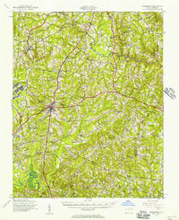
1943 · Creedmoor
USGS Topo · 1:62,500
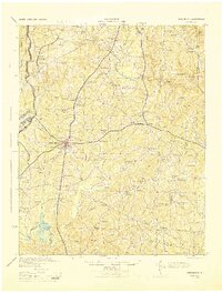
1944 · Creedmoor
USGS Topo · 1:62,500
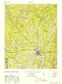
1953 · Oxford
USGS Topo · 1:62,500

1953 · Greensboro
USGS Topo · 1:250,000

1954 · Greensboro
USGS Topo · 1:250,000

1962 · Greensboro
USGS Topo · 1:250,000

1966 · Greensboro
USGS Topo · 1:250,000
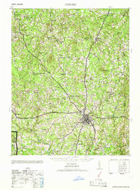
1966 · Oxford
USGS Topo · 1:62,500
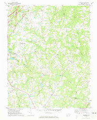
1970 · Vicksboro
USGS Topo · 1:24,000
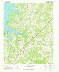
1970 · Middleburg
USGS Topo · 1:24,000