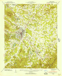
1946 Map of Hendersonville
USGS Topo · Published 1965About this map
Hendersonville serves as the central hub of this 1946 Tennessee Valley Authority and USGS field examination, where the Southern railroad line intersects with the historic Dixie Highway. The surrounding landscape is defined by the transition from the valley floor of Mud Creek to the rising elevations of the Blue Ridge, featuring a dense network of summer retreats and youth camps such as Camp Carlyle, Camp Pisgah, and Camp Pinnacle.
Find a feature on this map
92 named features on this map. Tap any name to fly to it.
Don’t see what you’re looking for? This feature index may not catch every label — zoom into the map to look around manually.
Map Details
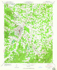
Editions of this 1946 Hendersonville Map
2 editions found
Other maps of this area

1905 · Pisgah
USGS Topo · 1:125,000

1906 · Pisgah
USGS Topo · 1:125,000

1907 · Saluda
USGS Topo · 1:125,000

1935 · Standingstone Mtn.
USGS Topo · 1:24,000

1935 · Horse Shoe
USGS Topo · 1:24,000

1935 · Batcave
USGS Topo · 1:24,000

1935 · Hendersonville
USGS Topo · 1:24,000

1935 · Fishtop
USGS Topo · 1:24,000

1935 · Zirconia
USGS Topo · 1:24,000

1936 · Skyland
USGS Topo · 1:24,000