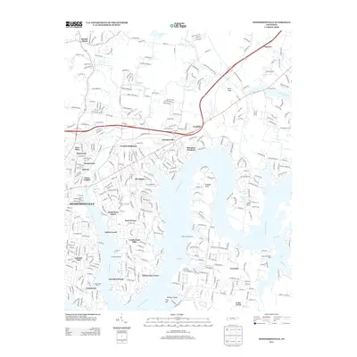
2013 Map of Hendersonville
USGS Topo · Published 2013About this map
Hendersonville and its suburban expansion define this 2013 topographic landscape along the Cumberland River. The map illustrates a high density of residential developments and planned communities such as Scottish Highlands, Bluegrass Meadows, and Indian Lake Forest, reflecting the area's rapid modern growth. Waterfront orientation is a primary characteristic here, with numerous inlets and bends like Lindsley Bend and Cages Bend shaping the shoreline. Boating and recreational culture are evident through landmarks like Creekwood Marina and Drakes Creek Marina. In contrast to the dense subdivisions, northern areas toward Shackle Island and Peytona retain a more open character, while topographical features like Pilot Knob and Fort Hill provide elevation above the river valley. Traces of the region's heritage appear at Andrew Jackson Camp, set against the backdrop of the modern Route 386 corridor.
Find a feature on this map
44 named features on this map. Tap any name to fly to it.
Don’t see what you’re looking for? This feature index may not catch every label — zoom into the map to look around manually.
Map Details
Editions of this 2013 Hendersonville Map
This is the sole edition of this map. No revisions or reprints were ever made.
Other maps of this area

1903 · Nashville
USGS Topo · 1:125,000

1932 · Hermitage
USGS Topo · 1:62,500

1942 · Gallatin
USGS Topo · 1:100,000

1942 · Lebanon
USGS Topo · 1:100,000

1951 · Martha
USGS Topo · 1:24,000

1952 · Goodlettsville
USGS Topo · 1:24,000

1952 · Hendersonville
USGS Topo · 1:24,000

1952 · Hermitage
USGS Topo · 1:24,000

1952 · Nashville East
USGS Topo · 1:24,000

1953 · Cottontown
USGS Topo · 1:24,000