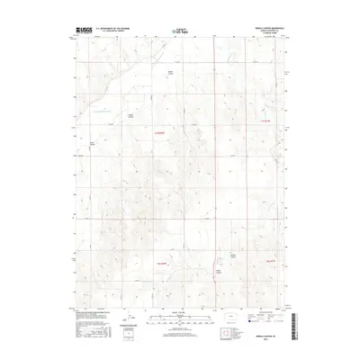
2015 Map of Henkle Canyon
USGS Topo · Published 2015About this map
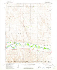
Henkle Canyon and a series of deep drainage features carve through this High Plains landscape in Cheyenne County, where the S Fork Republican River enters from the west. The terrain is defined by a dendritic pattern of canyons and creeks, including the aptly named Sleepy Canyon and Devils Canyon. These natural features dictate the rectilinear grid of the local road network, such as Co RD 26 and Co RD BB, which must navigate the breaks and ridges. To the east, Big Timber Cr flows through its own complex of ravines like Sawyer Canyon and Wolfe Canyon. This 2015 survey illustrates how the township and range system, including t1s r38w and t1s r37w, was imposed over a landscape of significant relief, where ranching and land use are strictly governed by the proximity to water and the depth of the canyons.
Find a feature on this map
22 named features on this map. Tap any name to fly to it.
Don’t see what you’re looking for? This feature index may not catch every label — zoom into the map to look around manually.
Map Details
Editions of this 2015 Henkle Canyon Map
This is the sole edition of this map. No revisions or reprints were ever made.
Other maps of this area
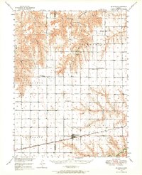
1950 · Mc Donald
USGS Topo · 1:62,500
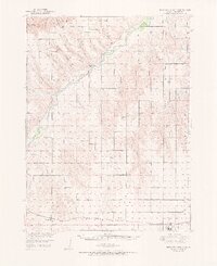
1951 · Bird City North
USGS Topo · 1:62,500
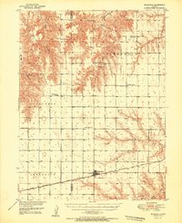
1951 · Mc Donald
USGS Topo · 1:62,500

1954 · McCook
USGS Topo · 1:250,000

1954 · Goodland
USGS Topo · 1:250,000

1956 · Goodland
USGS Topo · 1:250,000

1957 · McCook
USGS Topo · 1:250,000

1957 · Goodland
USGS Topo · 1:250,000

1958 · McCook
USGS Topo · 1:250,000
1961 · Parks
USGS Topo · 1:24,000