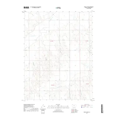
2018 Map of Henkle Canyon
USGS Topo · Published 2018About this map
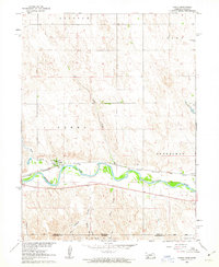
The S Fork Republican River cuts across the northwest corner of this Cheyenne County landscape, defining the local drainage patterns that have carved a series of named ravines into the High Plains. These topographic breaks, including Henkle Canyon, Sleepy Canyon, and Devils Canyon, provide significant relief in an otherwise regular grid of section lines and county roads. The map reveals how the modern transportation network, represented by routes such as Co RD DD and Co RD 24, largely follows the rectangular Public Land Survey System, occasionally deviating to navigate the winding course of the river or the deep incisions of Wolfe Canyon and Sawyer Canyon in the southeast.
Find a feature on this map
22 named features on this map. Tap any name to fly to it.
Don’t see what you’re looking for? This feature index may not catch every label — zoom into the map to look around manually.
Map Details
Editions of this 2018 Henkle Canyon Map
This is the sole edition of this map. No revisions or reprints were ever made.
Other maps of this area
1950 · Mc Donald
USGS Topo · 1:62,500
1951 · Bird City North
USGS Topo · 1:62,500
1951 · Mc Donald
USGS Topo · 1:62,500

1954 · McCook
USGS Topo · 1:250,000

1954 · Goodland
USGS Topo · 1:250,000

1956 · Goodland
USGS Topo · 1:250,000

1957 · McCook
USGS Topo · 1:250,000

1957 · Goodland
USGS Topo · 1:250,000

1958 · McCook
USGS Topo · 1:250,000
1961 · Parks
USGS Topo · 1:24,000