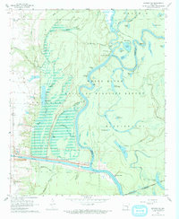
1967 Map of Henrico SW
USGS Topo · Published 1968About this map
The White River National Wildlife Refuge dominates this delta landscape, where the confluence of major waterways and managed wetlands illustrates the mid-century transformation of the Arkansas river system. The construction of the Arkansas Post Canal and the engineering of Lock and Dam No 1 and Lock No 2 altered the historical flow of the White River, integrating this remote wetland into the modern inland navigation system. This 1967 survey captures a geography of transition, where ancient terrain like the Indian Mound Campground sits alongside family markers such as Hockenberry Cem. Small river access points like Jacks Bay Landing and Prairie Landing emphasize the continued reliance on the river for transport and local industry, while the Missouri Pacific railroad skirts the southeastern corner, connecting the bayou country to the broader rail economy.
Find a feature on this map
52 named features on this map. Tap any name to fly to it.
Don’t see what you’re looking for? This feature index may not catch every label — zoom into the map to look around manually.
Map Details
Editions of this 1967 Henrico SW Map
3 editions found
Other maps of this area

1935 · Red Fork
USGS Topo · 1:62,500

1935 · Gillett
USGS Topo · 1:62,500

1939 · Henrico
USGS Topo · 1:62,500

1939 · Big Island
USGS Topo · 1:62,500

1948 · Helena
USGS Topo · 1:250,000

1950 · Helena
USGS Topo · 1:250,000

1953 · Greenwood
USGS Topo · 1:250,000

1954 · Henrico
USGS Topo · 1:62,500

1955 · Helena
USGS Topo · 1:250,000

1956 · Greenwood
USGS Topo · 1:250,000