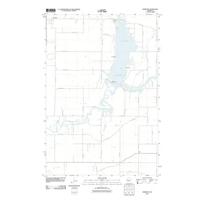
2010 Map of Henriette
USGS Topo · Published 2010About this map
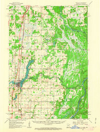
Pokegama Lake and the winding Snake River dominate this Pine County landscape, where water and recreation shape the local geography. The settlement of Henriette anchors the northern boundary, while the community of West Rock is situated to the southeast. The area around the lake features a mix of permanent and seasonal sites, including the Pokegama Lake RV Park and the Saint Gerard Mission House. Local navigational points like Tuxedo Bar and Clapps Bar underscore the importance of the lake's shoreline for commerce and gathering. Tributaries such as Mission Creek and Rush Creek weave through a network of rural roads, reflecting a landscape defined by its glacial hydrology and agricultural transition.
Find a feature on this map
50 named features on this map. Tap any name to fly to it.
Don’t see what you’re looking for? This feature index may not catch every label — zoom into the map to look around manually.
Map Details
Editions of this 2010 Henriette Map
This is the sole edition of this map. No revisions or reprints were ever made.
Other maps of this area
1950 · Rush City
USGS Topo · 1:48,000
1953 · Stillwater
USGS Topo · 1:250,000
1955 · Rush City
USGS Topo · 1:62,500
1955 · Stillwater
USGS Topo · 1:250,000
1958 · Stillwater
USGS Topo · 1:250,000
1961 · Cambridge
USGS Topo · 1:62,500
1961 · Brook Park
USGS Topo · 1:62,500
1961 · Pine City
USGS Topo · 1:62,500
1965 · Stillwater
USGS Topo · 1:250,000
1975 · Stillwater
USGS Topo · 1:250,000