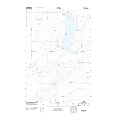
2013 Map of Henriette
USGS Topo · Published 2013About this map
Pokegama Lake and the meandering Snake River define this rural landscape in Pine County, as seen in the early twenty-first century. The settlement of Henriette sits at the northern edge of the sheet, while the more developed corridor of Rock Creek and West Rock occupies the southeastern corner near the intersection of MN-70. This area is characterized by a mix of agricultural activity and lakeside recreation, illustrated by the presence of the Saumer Dairy Farm and landmarks like the Saint Gerard Mission House. Local social and recreational life is anchored by the water, with place names such as Tuxedo Bar, Clapps Bar, and the Pokegama Lake RV Park indicating the area's role as a seasonal destination. Minor tributaries, including Mission Cr and Rush Cr, drain into the primary river system, supporting a network of secondary roads such as Klondike Loop and Hawk Ridge Rd.
Find a feature on this map
65 named features on this map. Tap any name to fly to it.
Don’t see what you’re looking for? This feature index may not catch every label — zoom into the map to look around manually.
Map Details
Editions of this 2013 Henriette Map
This is the sole edition of this map. No revisions or reprints were ever made.
Other maps of this area
1950 · Rush City
USGS Topo · 1:48,000
1953 · Stillwater
USGS Topo · 1:250,000
1955 · Rush City
USGS Topo · 1:62,500
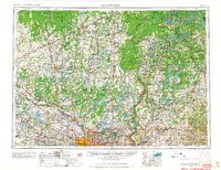
1955 · Stillwater
USGS Topo · 1:250,000
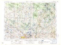
1958 · Stillwater
USGS Topo · 1:250,000
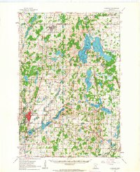
1961 · Cambridge
USGS Topo · 1:62,500
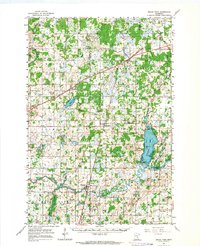
1961 · Brook Park
USGS Topo · 1:62,500
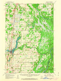
1961 · Pine City
USGS Topo · 1:62,500
1965 · Stillwater
USGS Topo · 1:250,000
1975 · Stillwater
USGS Topo · 1:250,000