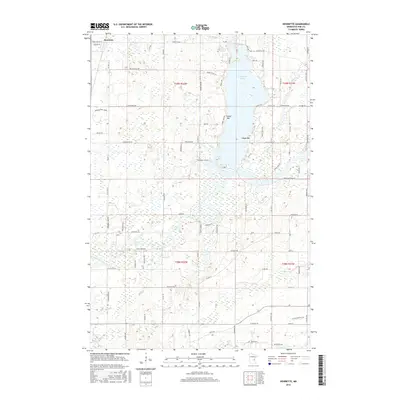
2016 Map of Henriette
USGS Topo · Published 2016About this map
Henriette anchors the northwest corner of this Pine County landscape, where the northern waters of Pokegama Lake dominate the terrain. The lake's shoreline is defined by named landforms such as Tuxedo Bar and Clapps Bar, while its southern reaches transition into Jarvis Bay. This region is a complex network of wetlands and small tributaries, with the Snake River winding through the southwestern section and Mission Cr and Rush Cr draining the eastern woods.
Find a feature on this map
92 named features on this map. Tap any name to fly to it.
Don’t see what you’re looking for? This feature index may not catch every label — zoom into the map to look around manually.
Map Details
Editions of this 2016 Henriette Map
This is the sole edition of this map. No revisions or reprints were ever made.
Other maps of this area
1950 · Rush City
USGS Topo · 1:48,000
1953 · Stillwater
USGS Topo · 1:250,000
1955 · Rush City
USGS Topo · 1:62,500
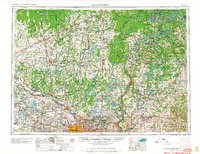
1955 · Stillwater
USGS Topo · 1:250,000
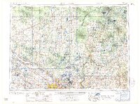
1958 · Stillwater
USGS Topo · 1:250,000
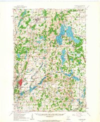
1961 · Cambridge
USGS Topo · 1:62,500
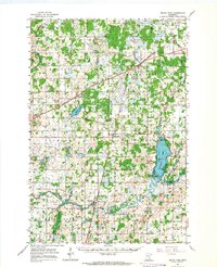
1961 · Brook Park
USGS Topo · 1:62,500
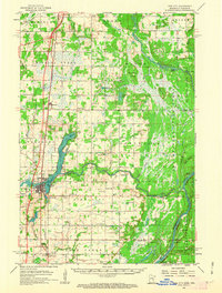
1961 · Pine City
USGS Topo · 1:62,500
1965 · Stillwater
USGS Topo · 1:250,000
1975 · Stillwater
USGS Topo · 1:250,000