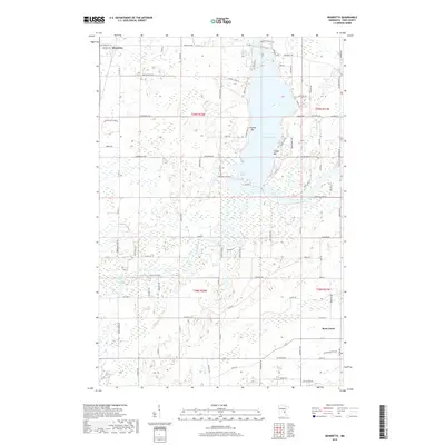
2019 Map of Henriette
USGS Topo · Published 2019About this map
Henriette and the surrounding Pine County landscape are defined by the expansive waters of Pokegama Lake and the meandering course of the Snake River. This 2019 survey captures the residential development clustered along the lake's eastern shore, particularly near Tuxedo Bar, Clapps Bar, and Jarvis Bay. The terrain transitions from these lakeside communities into a complex network of wetlands and small tributaries, including Mission Cr and Rush Cr, which drain the low-lying areas of Rock Creek to the southeast. The map details a modern rural infrastructure where old township lines like Twp Rd and Knob Rd intersect with newer residential routes such as Rolling Hill Rd and Lakeview Heights RD. This geographic layout illustrates the continuing evolution of the region from its agricultural roots toward a focus on seasonal and permanent shoreline residency.
Find a feature on this map
95 named features on this map. Tap any name to fly to it.
Don’t see what you’re looking for? This feature index may not catch every label — zoom into the map to look around manually.
Map Details
Editions of this 2019 Henriette Map
This is the sole edition of this map. No revisions or reprints were ever made.
Other maps of this area
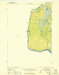
1950 · Rush City
USGS Topo · 1:48,000
1953 · Stillwater
USGS Topo · 1:250,000
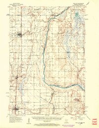
1955 · Rush City
USGS Topo · 1:62,500
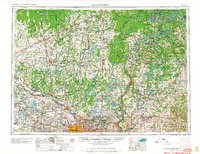
1955 · Stillwater
USGS Topo · 1:250,000
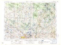
1958 · Stillwater
USGS Topo · 1:250,000
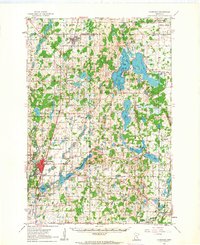
1961 · Cambridge
USGS Topo · 1:62,500
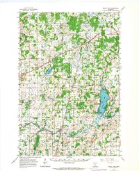
1961 · Brook Park
USGS Topo · 1:62,500
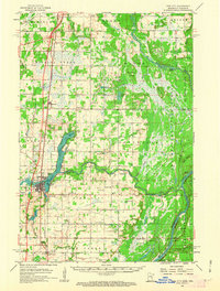
1961 · Pine City
USGS Topo · 1:62,500
1965 · Stillwater
USGS Topo · 1:250,000
1975 · Stillwater
USGS Topo · 1:250,000