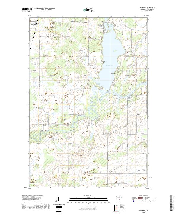
2022 Map of Henriette
USGS Topo · Published 2022About this map
Henriette and the surrounding Pine County wetlands anchor this survey of east-central Minnesota. The landscape is defined by the winding course of the Snake River, which flows through the southern half of the map, and the prominent Pokegama Lake to the north. Distinctive shoreline features like Tuxedo Bar and Clapps Bar break the lake's profile, while Jarvis Bay marks its southern reach.
Find a feature on this map
78 named features on this map. Tap any name to fly to it.
Don’t see what you’re looking for? This feature index may not catch every label — zoom into the map to look around manually.
Map Details
Editions of this 2022 Henriette Map
This is the sole edition of this map. No revisions or reprints were ever made.
Other maps of this area

1950 · Rush City
USGS Topo · 1:48,000

1953 · Stillwater
USGS Topo · 1:250,000

1955 · Rush City
USGS Topo · 1:62,500

1955 · Stillwater
USGS Topo · 1:250,000

1958 · Stillwater
USGS Topo · 1:250,000

1961 · Cambridge
USGS Topo · 1:62,500

1961 · Brook Park
USGS Topo · 1:62,500

1961 · Pine City
USGS Topo · 1:62,500

1965 · Stillwater
USGS Topo · 1:250,000

1975 · Stillwater
USGS Topo · 1:250,000