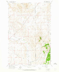
1963 Map of Henry Creek
USGS Topo · Published 1965About this map
The boundary between Lewis and Clark and Cascade counties runs through this ranching landscape, where early 1960s mapping reveals an intricate network of irrigation systems essential to high-plains agriculture. Named water-diversion projects like Knudson Ditch, Hamilton Ditch, and Garino Ditch crisscross the lowlands near Flat Creek, supporting established homesteads such as Gardipee Ranch and Levine Ranch.
Find a feature on this map
22 named features on this map. Tap any name to fly to it.
Don’t see what you’re looking for? This feature index may not catch every label — zoom into the map to look around manually.
Map Details
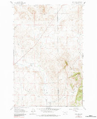
Editions of this 1963 Henry Creek Map
2 editions found
Other maps of this area

1886 · Great Falls
USGS Topo · 1:250,000

1943 · Hogan
USGS Topo · 1:125,000

1954 · Great Falls
USGS Topo · 1:250,000

1955 · Choteau
USGS Topo · 1:250,000

1957 · Choteau
USGS Topo · 1:250,000

1957 · Great Falls
USGS Topo · 1:250,000

1958 · Choteau
USGS Topo · 1:250,000

1960 · Simms
USGS Topo · 1:62,500
1961 · Coburn Mountain
USGS Topo · 1:24,000
1961 · Comb Rock
USGS Topo · 1:24,000