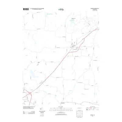
2013 Map of Henry
USGS Topo · Published 2013About this map
The town of Henry serves as a central hub in this West Tennessee landscape, situated along a prominent transportation corridor that connects local farms and smaller settlements. In the early 2010s, this area remained defined by its intricate drainage patterns, with Neil Ditch and Pettijohn Br carving through the terrain towards the larger water bodies to the north. Managed water resources are evident in the series of reservoir lakes, such as Middle Fork Obion Lake Number Seven and Middle Fork Obion River Number Nine Lake, which reflect modern hydraulic engineering in the Obion River watershed.
Find a feature on this map
89 named features on this map. Tap any name to fly to it.
Don’t see what you’re looking for? This feature index may not catch every label — zoom into the map to look around manually.
Map Details
Editions of this 2013 Henry Map
This is the sole edition of this map. No revisions or reprints were ever made.
Other maps of this area

1936 · Mansfield
USGS Topo · 1:24,000

1936 · Vale
USGS Topo · 1:24,000

1936 · Paris
USGS Topo · 1:24,000

1950 · Osage
USGS Topo · 1:24,000

1950 · Paris
USGS Topo · 1:24,000

1950 · Vale
USGS Topo · 1:24,000

1950 · Mansfield
USGS Topo · 1:24,000

1955 · Henry
USGS Topo · 1:24,000

1955 · Huntingdon
USGS Topo · 1:24,000

1956 · Dyersburg
USGS Topo · 1:250,000