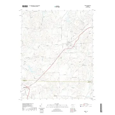
2019 Map of Henry
USGS Topo · Published 2019About this map
The Henry Co Carroll Co line bisects this landscape, which is marked by the agricultural settlements of Henry and Macedonia and the northeastern edge of McKenzie. The terrain is characterized by a dense network of family-named cemeteries and rural roads that point to generations of land ownership and genealogy. High concentrations of burial sites such as New Bethel Cem, Bird-Miller Cem, and Caton Springs Cem are scattered across the rolling hills between drainage systems like Pettijohn Br and Guins Creek. Water management and natural hydrology define the northern and southern reaches of the quadrangle. In the north, the Middle Fork Obion River Number Nine Lake and Tridner Cr dominate the lowlands, while the southern area features Clear Lake and the engineered path of Neil Ditch, reflecting the region's reliance on managed water resources for its agrarian economy.
Find a feature on this map
108 named features on this map. Tap any name to fly to it.
Don’t see what you’re looking for? This feature index may not catch every label — zoom into the map to look around manually.
Map Details
Editions of this 2019 Henry Map
This is the sole edition of this map. No revisions or reprints were ever made.
Other maps of this area

1936 · Mansfield
USGS Topo · 1:24,000

1936 · Vale
USGS Topo · 1:24,000

1936 · Paris
USGS Topo · 1:24,000

1950 · Osage
USGS Topo · 1:24,000

1950 · Paris
USGS Topo · 1:24,000

1950 · Vale
USGS Topo · 1:24,000

1950 · Mansfield
USGS Topo · 1:24,000

1955 · Henry
USGS Topo · 1:24,000

1955 · Huntingdon
USGS Topo · 1:24,000

1956 · Dyersburg
USGS Topo · 1:250,000