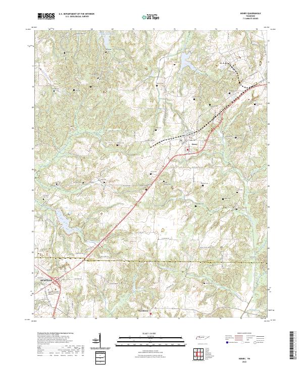
2022 Map of Henry
USGS Topo · Published 2022About this map
Henry and the surrounding borderlands of Henry Co and Carroll Co are defined by a high concentration of ancestral burial grounds and small watercourses. The landscape is characterized by a dense network of family and community cemeteries, including Brogdon Cem, Bird Miller Cem, and the uniquely named Covington Wall Cem. These sites are scattered among the headwaters of Caledonia Cr and Pettijohn Br, illustrating the historical pattern of rural settlement where homesteads were inextricably linked to the local creek systems and private family plots.
Find a feature on this map
110 named features on this map. Tap any name to fly to it.
Don’t see what you’re looking for? This feature index may not catch every label — zoom into the map to look around manually.
Map Details
Editions of this 2022 Henry Map
This is the sole edition of this map. No revisions or reprints were ever made.
Other maps of this area

1936 · Mansfield
USGS Topo · 1:24,000

1936 · Vale
USGS Topo · 1:24,000

1936 · Paris
USGS Topo · 1:24,000

1950 · Osage
USGS Topo · 1:24,000

1950 · Paris
USGS Topo · 1:24,000

1950 · Vale
USGS Topo · 1:24,000

1950 · Mansfield
USGS Topo · 1:24,000

1955 · Henry
USGS Topo · 1:24,000

1955 · Huntingdon
USGS Topo · 1:24,000

1956 · Dyersburg
USGS Topo · 1:250,000