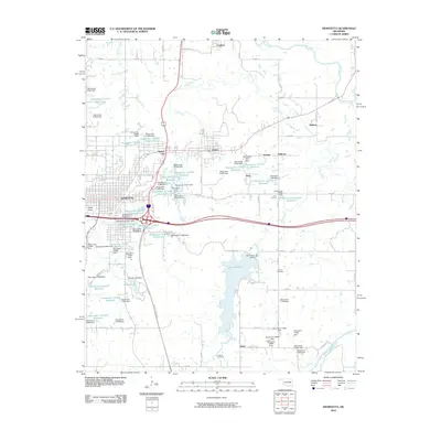
2010 Map of Henryetta
USGS Topo · Published 2010About this map
The industrial and transportation hub of Henryetta serves as the focal point of this Okmulgee County survey, where the Indian Nation Tpke intersects with Interstate 40. This landscape is defined by its extensive water management system, featuring dozens of named reservoirs and dams such as the Henryetta Dam and Nichols Lake Dam. These numerous small impoundments, often designated by numeric labels like Oknoname 111053 Reservoir, suggest a history of resource extraction or land reclamation in the coal-rich terrain. Smaller communities and residential clusters including Dewar, Spelter City, and Coalton surround the main city, while the southern portion of the quadrangle transitions to more open lands near the North Canadian River. Local heritage is preserved at sites like the Salem Cemetery and Senora Cemetery, which anchor the rural settlements of Salem and Four Corners.
Find a feature on this map
100 named features on this map. Tap any name to fly to it.
Don’t see what you’re looking for? This feature index may not catch every label — zoom into the map to look around manually.
Map Details
Editions of this 2010 Henryetta Map
This is the sole edition of this map. No revisions or reprints were ever made.
Other maps of this area

1896 · Okmulgee
USGS Topo · 1:125,000

1900 · Canadian
USGS Topo · 1:125,000

1900 · Wewoka
USGS Topo · 1:125,000

1900 · Okmulgee
USGS Topo · 1:125,000

1901 · Nuyaka
USGS Topo · 1:125,000

1946 · Fort Smith
USGS Topo · 1:250,000

1954 · Oklahoma City
USGS Topo · 1:250,000

1957 · Oklahoma City
USGS Topo · 1:250,000

1962 · Henryetta
USGS Topo · 1:24,000

1962 · Raiford
USGS Topo · 1:24,000