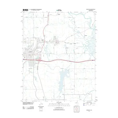
2012 Map of Henryetta
USGS Topo · Published 2012About this map
Henryetta serves as the primary hub of this Okmulgee County landscape, situated where major transportation corridors intersect near the N Canadian River. The settlement pattern reflects the area's industrial and mining heritage, with a series of smaller communities like Spelter City, Dewar, Kusa, and Coalton clustered along the northern creeks and roadways. These small towns are interconnected by a grid of rural routes such as Chestnut Rd and E1060 Rd, suggesting a history of localized development around natural resources and rail lines.
Find a feature on this map
53 named features on this map. Tap any name to fly to it.
Don’t see what you’re looking for? This feature index may not catch every label — zoom into the map to look around manually.
Map Details
Editions of this 2012 Henryetta Map
This is the sole edition of this map. No revisions or reprints were ever made.
Other maps of this area

1896 · Okmulgee
USGS Topo · 1:125,000

1900 · Canadian
USGS Topo · 1:125,000

1900 · Wewoka
USGS Topo · 1:125,000

1900 · Okmulgee
USGS Topo · 1:125,000

1901 · Nuyaka
USGS Topo · 1:125,000

1946 · Fort Smith
USGS Topo · 1:250,000

1954 · Oklahoma City
USGS Topo · 1:250,000

1957 · Oklahoma City
USGS Topo · 1:250,000

1962 · Henryetta
USGS Topo · 1:24,000

1962 · Raiford
USGS Topo · 1:24,000