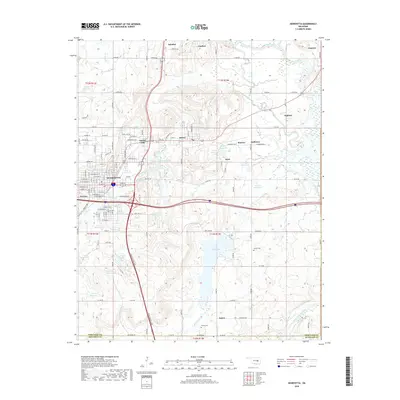
2018 Map of Henryetta
USGS Topo · Published 2018About this map
Henryetta and the surrounding mining-legacy settlements of Okmulgee County are depicted in this 2018 survey. The landscape is defined by its industrial history and water management, featuring a dense network of numbered reservoirs alongside established towns like Dewar, Schulter, and Coalton. The map traces the winding course of the North Canadian River and Deep Fork, while the northern portion is marked by the presence of Spelter City and Kusa, areas historically tied to the region's zinc smelting and coal mining economy. Local genealogy and history can be traced through sites like Sonora Cem and Salem Cem, or the residential grid of Salem in the south. Significant water bodies including Lake Henryetta and Nichols Lake sit nestled between ridges, while the prominent landmark of Bald Knob rises south of the main city center, providing a clear topographic profile of this Eastern Oklahoma terrain.
Find a feature on this map
134 named features on this map. Tap any name to fly to it.
Don’t see what you’re looking for? This feature index may not catch every label — zoom into the map to look around manually.
Map Details
Editions of this 2018 Henryetta Map
This is the sole edition of this map. No revisions or reprints were ever made.
Other maps of this area

1896 · Okmulgee
USGS Topo · 1:125,000

1900 · Canadian
USGS Topo · 1:125,000

1900 · Wewoka
USGS Topo · 1:125,000

1900 · Okmulgee
USGS Topo · 1:125,000

1901 · Nuyaka
USGS Topo · 1:125,000

1946 · Fort Smith
USGS Topo · 1:250,000

1954 · Oklahoma City
USGS Topo · 1:250,000

1957 · Oklahoma City
USGS Topo · 1:250,000

1962 · Henryetta
USGS Topo · 1:24,000

1962 · Raiford
USGS Topo · 1:24,000