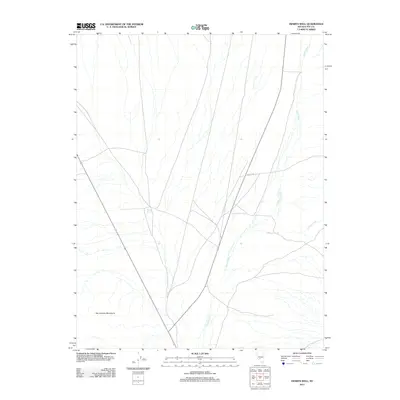
2012 Map of Henrys Well
USGS Topo · Published 2012About this map
Henrys Well stands as a focal point in this portion of Nye County, marking a vital water source in the arid desert landscape. The terrain is defined by the eastern slopes of the San Antonio Mountains, where seasonal drainages like Hunts Creek and Willow Creek carve paths across the alluvial fans. This 2012 survey illustrates the modern configuration of the high desert, where transportation is limited to routes like the Nfd 127 Rd and other unnamed tracks that navigate the expansive valley floor. The map provides a clear picture of the hydrological patterns of the region, showing how surface water from the mountains transitions into the lower basins, a critical detail for understanding the land use and historical ranching potential of this remote Nevada quadrangle.
Find a feature on this map
5 named features on this map. Tap any name to fly to it.
Don’t see what you’re looking for? This feature index may not catch every label — zoom into the map to look around manually.
Map Details
Editions of this 2012 Henrys Well Map
This is the sole edition of this map. No revisions or reprints were ever made.
Other maps of this area

1907 · Tonopah
USGS Topo · 1:250,000

1908 · Tonopah
USGS Topo · 1:250,000

1956 · Tonopah
USGS Topo · 1:250,000

1959 · Tonopah
USGS Topo · 1:250,000
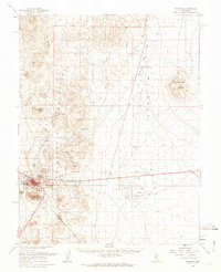
1961 · Tonopah
USGS Topo · 1:62,500

1962 · Tonopah
USGS Topo · 1:250,000
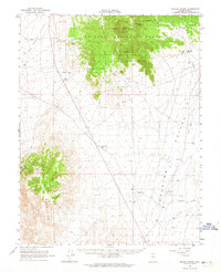
1963 · Baxter Spring
USGS Topo · 1:62,500
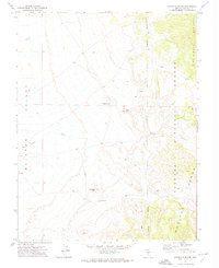
1971 · Antelope Spring
USGS Topo · 1:24,000
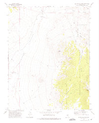
1971 · Big Ten Peak West
USGS Topo · 1:24,000
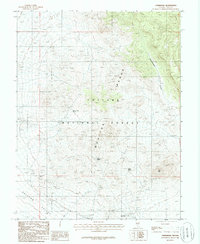
1986 · Hannapah
USGS Topo · 1:24,000