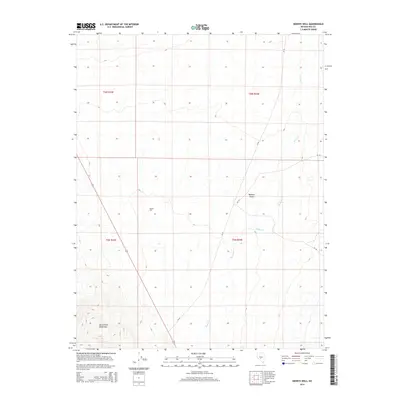
2014 Map of Henrys Well
USGS Topo · Published 2014About this map
Henrys Well sits as a solitary named landmark within the arid expanses of Nye County, where the high desert terrain transitions toward the elevations of the San Antonio Mountains. This 2014 survey documents a landscape defined by seasonal watercourses like Hunts Cr and Willow Cr, which drain into the Ralston Desert. The map reveals a sparse infrastructure of desert transit, primarily centered on NV-82 and forest service roads like NF-127 and NF-164. These routes provide the only access through the vast public land survey sections, reflecting the remote character of central Nevada's basin and range province during the early twenty-first century.
Find a feature on this map
12 named features on this map. Tap any name to fly to it.
Don’t see what you’re looking for? This feature index may not catch every label — zoom into the map to look around manually.
Map Details
Editions of this 2014 Henrys Well Map
This is the sole edition of this map. No revisions or reprints were ever made.
Other maps of this area

1907 · Tonopah
USGS Topo · 1:250,000

1908 · Tonopah
USGS Topo · 1:250,000

1956 · Tonopah
USGS Topo · 1:250,000

1959 · Tonopah
USGS Topo · 1:250,000
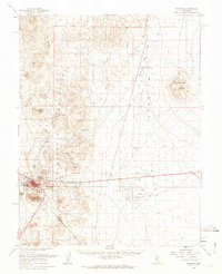
1961 · Tonopah
USGS Topo · 1:62,500

1962 · Tonopah
USGS Topo · 1:250,000
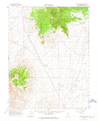
1963 · Baxter Spring
USGS Topo · 1:62,500
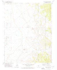
1971 · Antelope Spring
USGS Topo · 1:24,000
1971 · Big Ten Peak West
USGS Topo · 1:24,000
1986 · Hannapah
USGS Topo · 1:24,000