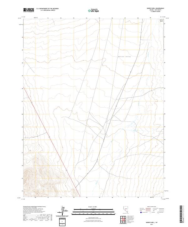
2021 Map of Henrys Well
USGS Topo · Published 2021About this map
Ralston Valley dominates this high-altitude interior drainage landscape in central Nevada, situated where the valley floor transitions into the southern reaches of the Ralston Desert. The map reveals a characteristically sparse arid-land drainage pattern, defined primarily by the seasonal courses of Hunts Cr and Willow Cr as they move toward the valley center. These ephemeral waterways are critical markers for understanding historical water access in an otherwise parched environment.
Find a feature on this map
10 named features on this map. Tap any name to fly to it.
Don’t see what you’re looking for? This feature index may not catch every label — zoom into the map to look around manually.
Map Details
Editions of this 2021 Henrys Well Map
This is the sole edition of this map. No revisions or reprints were ever made.
Other maps of this area

1907 · Tonopah
USGS Topo · 1:250,000

1908 · Tonopah
USGS Topo · 1:250,000

1956 · Tonopah
USGS Topo · 1:250,000

1959 · Tonopah
USGS Topo · 1:250,000

1961 · Tonopah
USGS Topo · 1:62,500

1962 · Tonopah
USGS Topo · 1:250,000

1963 · Baxter Spring
USGS Topo · 1:62,500

1971 · Antelope Spring
USGS Topo · 1:24,000
1971 · Big Ten Peak West
USGS Topo · 1:24,000
1986 · Hannapah
USGS Topo · 1:24,000