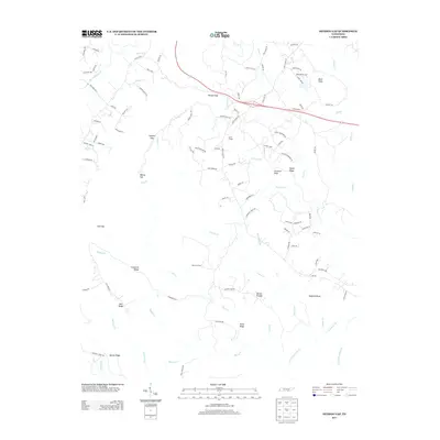
2013 Map of Henson Gap
USGS Topo · Published 2013About this map
Lewis Chapel and the small settlement at Stewart Camp anchor the eastern reaches of the Cumberland Plateau in this 2012 survey. The landscape is defined by its deep gaps and high ridges, including the prominent Henson Gap and Cowpen Gap which channel local travel through the complex terrain. The drainage patterns are clearly defined, with Soddy Cr and N Chickamauga Cr flowing through the southern and eastern sectors, while the Sequatchie River appears in the northwest corner. Numerous family-named landmarks and infrastructure such as Barker Pounds, Corncrib Knob, and Davis Cemetery Rd offer specific points of interest for genealogists and local historians tracing the development of this area. The road network, including the Old York Hwy E, reveals the evolution of transport through these Tennessee highlands.
Find a feature on this map
101 named features on this map. Tap any name to fly to it.
Don’t see what you’re looking for? This feature index may not catch every label — zoom into the map to look around manually.
Map Details
Editions of this 2013 Henson Gap Map
This is the sole edition of this map. No revisions or reprints were ever made.
Other maps of this area

1888 · Chattanooga
USGS Topo · 1:125,000

1893 · Chattanooga
USGS Topo · 1:125,000

1935 · Daisy
USGS Topo · 1:24,000

1935 · Soddy
USGS Topo · 1:24,000

1935 · Brayton
USGS Topo · 1:24,000

1935 · Mount Airy
USGS Topo · 1:24,000

1936 · Daus
USGS Topo · 1:24,000

1936 · Henson Gap
USGS Topo · 1:24,000

1936 · Ketner Gap
USGS Topo · 1:24,000

1936 · Fairmount
USGS Topo · 1:24,000