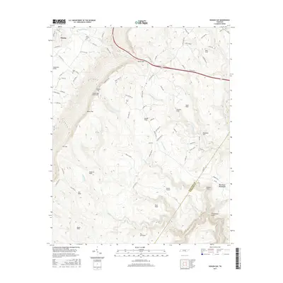
2016 Map of Henson Gap
USGS Topo · Published 2016About this map
The Sequatchie Valley and the towering Cumberland Escarpment dominate this section of the Tennessee landscape. The Sequatchie River winds through the northwestern corner near Dunlap, while the terrain rises sharply to the southeast toward Walden Ridge. This elevation change is marked by notable passes like Cowpen Gap and the namesake Henson Gap, which historically facilitated movement between the valley floor and the plateau. Family history is anchored here by established sites such as Davis Chapel Cem, Lewis Cem, and Davis Cem, often located near crossroads or along older routes like Old York Hwy E. To the south and east, the topography becomes increasingly complex, fractured by deep drainages such as Chickamauga Gulch and Mansfield Gulf, which define the rugged edges of Mowbray Mountain.
Find a feature on this map
96 named features on this map. Tap any name to fly to it.
Don’t see what you’re looking for? This feature index may not catch every label — zoom into the map to look around manually.
Map Details
Editions of this 2016 Henson Gap Map
This is the sole edition of this map. No revisions or reprints were ever made.
Other maps of this area

1888 · Chattanooga
USGS Topo · 1:125,000

1893 · Chattanooga
USGS Topo · 1:125,000

1935 · Daisy
USGS Topo · 1:24,000

1935 · Soddy
USGS Topo · 1:24,000

1935 · Brayton
USGS Topo · 1:24,000

1935 · Mount Airy
USGS Topo · 1:24,000

1936 · Daus
USGS Topo · 1:24,000

1936 · Henson Gap
USGS Topo · 1:24,000

1936 · Ketner Gap
USGS Topo · 1:24,000

1936 · Fairmount
USGS Topo · 1:24,000