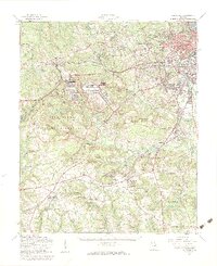
1957 Map of Hephzibah
USGS Topo · Published 1961About this map
Fort Gordon Military Reservation dominates the central landscape of this Richmond County region, illustrating the massive post-war military footprint near Augusta. The transition from rural agrarian life to mid-century industrialization is visible in the cluster of mills and ponds like Richmond Factory Pond and Hancock Millpond along Spirit Creek. To the north, the urban expansion of Augusta reaches toward Daniel Field and Country Club Hills, while the southern reaches remain dotted with small family burial grounds and country congregations.
Find a feature on this map
106 named features on this map. Tap any name to fly to it.
Don’t see what you’re looking for? This feature index may not catch every label — zoom into the map to look around manually.
Map Details
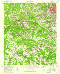
Editions of this 1957 Hephzibah Map
2 editions found
Other maps of this area

1892 · Mc Cormick
USGS Topo · 1:125,000

1912 · Mc Cormick
USGS Topo · 1:125,000

1919 · Gough
USGS Topo · 1:62,500

1920 · Stapleton
USGS Topo · 1:62,500

1920 · Greens Cut
USGS Topo · 1:62,500

1920 · Clarks Hill
USGS Topo · 1:48,000

1921 · Augusta
USGS Topo · 1:62,500

1921 · Clarks Hill
USGS Topo · 1:62,500

1921 · Appling
USGS Topo · 1:62,500

1922 · Harlem
USGS Topo · 1:62,500