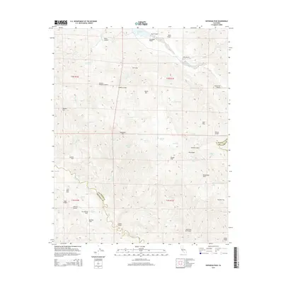
2015 Map of Hepsedam Peak
USGS Topo · Published 2015About this map
Hepsedam Peak and the high ridges of the Diablo Range define this landscape along the border of San Benito and Monterey counties. The path of the San Andreas Fault cuts through the southwestern corner, shaping the orientation of Mustang Ridge and the drainages of Beeman Canyon and Yaqui Canyon. Water is a defining element in this arid environment, evidenced by the presence of Hernandez Reservoir to the north and numerous small water sources like Hepsedam Spring, Cottonwood Springs, and Mud Trail Pond. To the west, the flat expanse of Spanish Flats sits beneath the prominent Vasquez Rock, while the San Benito River winds through the Hernandez Valley before entering The Gorge. This map captures a sparsely populated region of California, where the land is primarily characterized by its geological complexity and the network of canyons and gulches like Rattlesnake Gulch and Horsethief Canyon that drain into the central valley.
Find a feature on this map
56 named features on this map. Tap any name to fly to it.
Don’t see what you’re looking for? This feature index may not catch every label — zoom into the map to look around manually.
Map Details
Editions of this 2015 Hepsedam Peak Map
This is the sole edition of this map. No revisions or reprints were ever made.
Other maps of this area
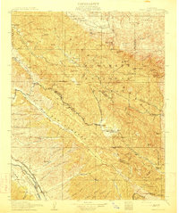
1915 · Priest Valley
USGS Topo · 1:125,000
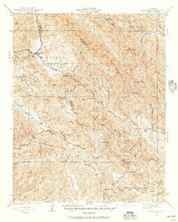
1941 · Priest Valley
USGS Topo · 1:62,500
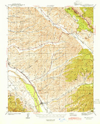
1941 · San Ardo
USGS Topo · 1:62,500
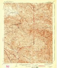
1943 · New Idria
USGS Topo · 1:62,500
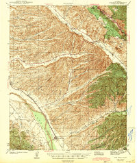
1943 · San Ardo
USGS Topo · 1:62,500
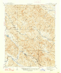
1943 · Hernandez Valley
USGS Topo · 1:62,500
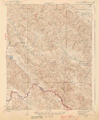
1944 · Hernandez Valley
USGS Topo · 1:62,500
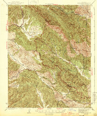
1944 · Priest Valley
USGS Topo · 1:62,500
1948 · Santa Cruz
USGS Topo · 1:250,000
1955 · Santa Cruz
USGS Topo · 1:250,000