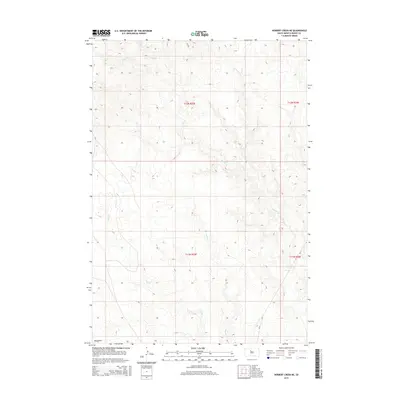
2015 Map of Herbert Creek NE
USGS Topo · Published 2015About this map
Hosupa Cr and Paradis Cr wind through this section of the South Dakota plains, defining a landscape of intermittent drainages and subtle elevation changes. The map depicts a sparse road network, primarily composed of rural routes like Bia-9 and Cr-160, which service the sprawling ranching and grazing land. The drainage patterns, including Little Cr and the low-lying Beef Draw in the southwest, illustrate the natural topography of Dewey County before modern development. This 2015 survey provides a clear look at the Public Land Survey System grid across T11N and T12N, offering essential detail for researchers documenting land ownership and historical boundaries in this rural prairie environment.
Find a feature on this map
10 named features on this map. Tap any name to fly to it.
Don’t see what you’re looking for? This feature index may not catch every label — zoom into the map to look around manually.
Map Details
Editions of this 2015 Herbert Creek NE Map
This is the sole edition of this map. No revisions or reprints were ever made.
Other maps of this area

1953 · McIntosh
USGS Topo · 1:250,000

1954 · Pierre
USGS Topo · 1:250,000
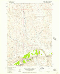
1956 · Rousseau Creek SW
USGS Topo · 1:24,000
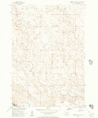
1956 · Herbert Creek SE
USGS Topo · 1:24,000

1958 · Pierre
USGS Topo · 1:250,000

1958 · McIntosh
USGS Topo · 1:250,000
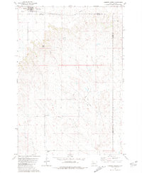
1981 · Herbert Creek
USGS Topo · 1:24,000
1981 · Rousseau Creek NW
USGS Topo · 1:24,000
1981 · Herbert Creek NE
USGS Topo · 1:24,000
1981 · Parade SW
USGS Topo · 1:24,000