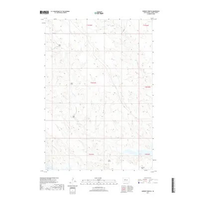
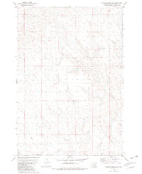
2017 Map of Herbert Creek SE
USGS Topo · Published 2017About this map
Lake Oahe dominates the southern reaches of this landscape in Dewey County, where the Missouri River valley meets the expansive plains of District 4. The topography is defined by a network of seasonal drainages and draws that carve through the prairie, including Beef Draw, Talcut Draw, and Olson Draw, all feeding toward the winding path of Herbert Cr. The land rises toward the Gray Buttes and levels out at Kid Rich Flats near the shoreline. This 2017 survey reflects the modern rural character of the region, where infrastructure is sparse, limited primarily to Bia Hwy 8 and Bia Hwy 9. The map provides a detailed view of the natural relief and water systems that have influenced land use in this part of South Dakota for generations.
Find a feature on this map
17 named features on this map. Tap any name to fly to it.
Don’t see what you’re looking for? This feature index may not catch every label — zoom into the map to look around manually.
Map Details
Editions of this 2017 Herbert Creek SE Map
This is the sole edition of this map. No revisions or reprints were ever made.
Other maps of this area

1954 · Pierre
USGS Topo · 1:250,000
1956 · Alleman Station
USGS Topo · 1:24,000
1956 · Rousseau Creek SW
USGS Topo · 1:24,000
1956 · Herbert Creek SE
USGS Topo · 1:24,000
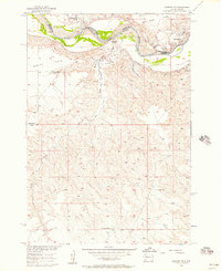
1956 · Sansarc NE
USGS Topo · 1:24,000
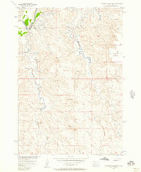
1956 · Crockett Mountains
USGS Topo · 1:24,000

1958 · Pierre
USGS Topo · 1:250,000
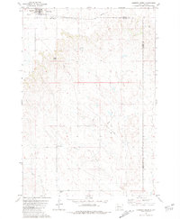
1981 · Herbert Creek
USGS Topo · 1:24,000
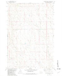
1981 · Rousseau Creek NW
USGS Topo · 1:24,000
1981 · Herbert Creek NE
USGS Topo · 1:24,000