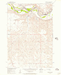
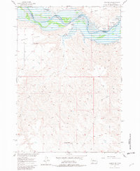
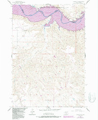
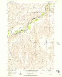
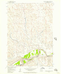
1956 Map of Sansarc NE
USGS Topo · Published 1957About this map
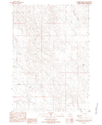
The Cheyenne River Indian Reservation dominates the northern landscape of this mid-century survey, where the winding Cheyenne River carves through a series of high tablelands. This 1956 field study documents the area just as the Missouri River Basin development program was beginning to reshape the region; the map explicitly notes areas designated to be submerged by the impending Oahe Reservoir.
Find a feature on this map
14 named features on this map. Tap any name to fly to it.
Don’t see what you’re looking for? This feature index may not catch every label — zoom into the map to look around manually.
Map Details
Editions of this 1956 Sansarc NE Map
3 editions found
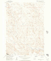
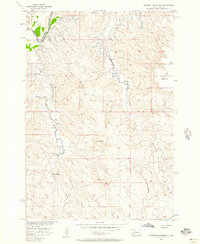
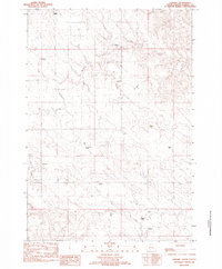
Other maps of this area

1954 · Pierre
USGS Topo · 1:250,000
1956 · Alleman Station
USGS Topo · 1:24,000
1956 · Rousseau Creek SW
USGS Topo · 1:24,000
1956 · Herbert Creek SE
USGS Topo · 1:24,000
1956 · Crockett Mountains
USGS Topo · 1:24,000

1958 · Pierre
USGS Topo · 1:250,000

1981 · Herbert Creek SW
USGS Topo · 1:24,000
1982 · Sansarc
USGS Topo · 1:24,000

1982 · Whiteman Ranch
USGS Topo · 1:24,000
1983 · Standing Butte SW
USGS Topo · 1:24,000