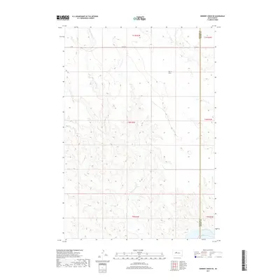
2017 Map of Herbert Creek SW
USGS Topo · Published 2017About this map
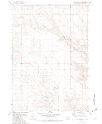
Lake Oahe defines the southeastern corner of this landscape along the border of Ziebach and Dewey counties. The terrain is shaped by a network of drainage patterns, most notably the winding course of Rudy Cr and its tributary, E Fork Rudy Cr, which carve through the plains. Further north, the land is marked by Talcut Draw and the headwaters of Herbert Cr. Infrastructure is sparse in this portion of the Cheyenne River Indian Reservation, centered primarily on the corridor of BIA Hwy 8 and the simple grid of a Co Rd in the northwest. This 2017 survey documents the topography of the Missouri River reservoir system, showing how the vast waters of the Oahe impact the local drainage of South Dakota's western river country.
Find a feature on this map
14 named features on this map. Tap any name to fly to it.
Don’t see what you’re looking for? This feature index may not catch every label — zoom into the map to look around manually.
Map Details
Editions of this 2017 Herbert Creek SW Map
This is the sole edition of this map. No revisions or reprints were ever made.
Other maps of this area

1954 · Pierre
USGS Topo · 1:250,000
1956 · Carlin Flat
USGS Topo · 1:24,000
1956 · Alleman Station
USGS Topo · 1:24,000
1956 · Herbert Creek SE
USGS Topo · 1:24,000
1956 · Sansarc NE
USGS Topo · 1:24,000

1958 · Pierre
USGS Topo · 1:250,000
1981 · Herbert Creek
USGS Topo · 1:24,000
1981 · Herbert Creek NE
USGS Topo · 1:24,000
1981 · Herbert Creek SW
USGS Topo · 1:24,000
1981 · High Elk Hill SE
USGS Topo · 1:24,000