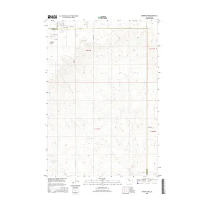
2015 Map of Herbert Creek
USGS Topo · Published 2015About this map
Eagle Butte sits at the northern edge of this high plains landscape, serving as a vital hub for the Cheyenne River Reservation. The terrain is defined by a network of seasonal watercourses and draws that drain the prairie, including the namesake Herbert Creek and the headwaters of Timber Crk. Evidence of local infrastructure is prominent near the settlement, from the Cheyenne Eagle Butte Airport to the industrial presence of a local Landfill Rd.
Find a feature on this map
22 named features on this map. Tap any name to fly to it.
Don’t see what you’re looking for? This feature index may not catch every label — zoom into the map to look around manually.
Map Details
Editions of this 2015 Herbert Creek Map
This is the sole edition of this map. No revisions or reprints were ever made.
Other maps of this area

1953 · McIntosh
USGS Topo · 1:250,000

1954 · Pierre
USGS Topo · 1:250,000
1956 · Herbert Creek SE
USGS Topo · 1:24,000

1958 · Pierre
USGS Topo · 1:250,000

1958 · McIntosh
USGS Topo · 1:250,000
1981 · Herbert Creek
USGS Topo · 1:24,000
1981 · Herbert Creek NE
USGS Topo · 1:24,000
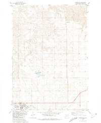
1981 · Parade SW
USGS Topo · 1:24,000
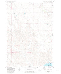
1981 · Herbert Creek SW
USGS Topo · 1:24,000
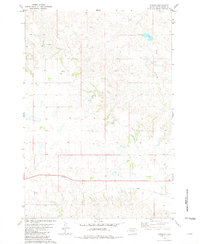
1981 · Parade
USGS Topo · 1:24,000