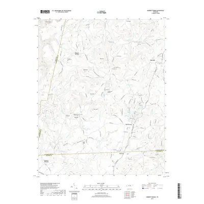
2019 Map of Herbert Domain
USGS Topo · Published 2019About this map
Thomas Springs and Newton anchor this highland landscape atop the Cumberland Plateau, where small family settlements and burial grounds trace the genealogical history of the region. The map reveals a dense network of local cemeteries including Thomas Springs Cem, Akin Cem, and the dual Burgess Cem Number One and Burgess Cem Number Two, illustrating the deep-rooted community ties in this part of Tennessee.
Find a feature on this map
133 named features on this map. Tap any name to fly to it.
Don’t see what you’re looking for? This feature index may not catch every label — zoom into the map to look around manually.
Map Details
Editions of this 2019 Herbert Domain Map
This is the sole edition of this map. No revisions or reprints were ever made.
Other maps of this area

1892 · Pikeville
USGS Topo · 1:125,000

1895 · Pikeville
USGS Topo · 1:125,000

1909 · Sequatchie Valley
USGS Topo · 1:62,500

1910 · Pikeville
USGS Topo · 1:62,500

1912 · Crossville
USGS Topo · 1:62,500

1935 · Melvine
USGS Topo · 1:24,000

1935 · Billingsley Gap
USGS Topo · 1:24,000
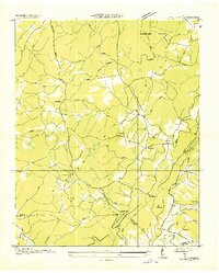
1935 · Vandever
USGS Topo · 1:24,000
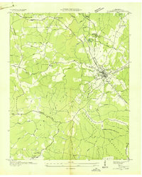
1936 · Crossville
USGS Topo · 1:24,000

1943 · Cookeville
USGS Topo · 1:100,000