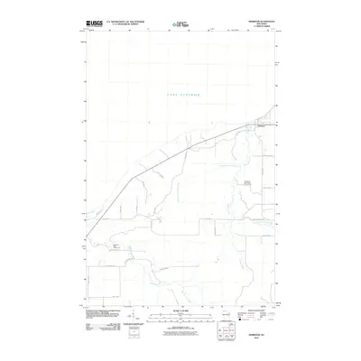
2010 Map of Herbster
USGS Topo · Published 2010About this map
The settlement of Herbster sits on the southern edge of Lake Superior, serving as a coastal anchor for this part of Bayfield County. The landscape is defined by the convergence of several significant waterways, including the West Fork Cranberry River and the main Cranberry River, which flow northward toward the Great Lake through the protected Cranberry River State Fishery Area. Further west, the Flag River and its East Fork dominate the terrain, creating a network of drainage that shaped early road development and land use in the region.
Find a feature on this map
28 named features on this map. Tap any name to fly to it.
Don’t see what you’re looking for? This feature index may not catch every label — zoom into the map to look around manually.
Map Details
Editions of this 2010 Herbster Map
This is the sole edition of this map. No revisions or reprints were ever made.
Other maps of this area

1943 · Port Wing
USGS Topo · 1:48,000

1943 · Iron Lake
USGS Topo · 1:48,000

1944 · Moquah
USGS Topo · 1:48,000

1944 · Cornucopia
USGS Topo · 1:48,000

1946 · Cornucopia
USGS Topo · 1:48,000

1946 · Port Wing
USGS Topo · 1:48,000

1947 · Moquah
USGS Topo · 1:48,000

1947 · Iron Lake
USGS Topo · 1:48,000

1953 · Ashland
USGS Topo · 1:250,000

1958 · Ashland
USGS Topo · 1:250,000