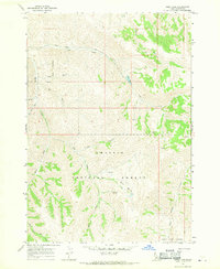
1967 Map of Herd Lake
USGS Topo · Published 1970About this map
Challis National Forest dominates this mid-century topographic study, showcasing a high-altitude landscape defined by complex drainage networks and significant elevation shifts. The central focus is Herd Lake, positioned where Herd Creek and Lake Creek converge within a deep valley. The map reveals a wild territory where human intervention is limited primarily to a single Jeep Trail winding through the northern ridges and the established National Forest Boundary.
Find a feature on this map
20 named features on this map. Tap any name to fly to it.
Don’t see what you’re looking for? This feature index may not catch every label — zoom into the map to look around manually.
Map Details
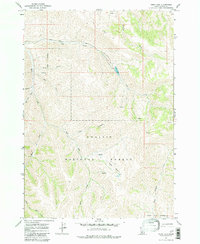
Editions of this 1967 Herd Lake Map
2 editions found
Other maps of this area

1895 · Hailey
USGS Topo · 1:125,000

1897 · Hailey
USGS Topo · 1:125,000

1929 · Bayhorse
USGS Topo · 1:125,000

1955 · Hailey
USGS Topo · 1:250,000

1957 · Challis
USGS Topo · 1:250,000

1959 · Hailey
USGS Topo · 1:250,000

1960 · Challis
USGS Topo · 1:250,000

1962 · Hailey
USGS Topo · 1:250,000

1963 · Challis
USGS Topo · 1:250,000
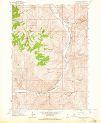
1963 · Ziegler Basin
USGS Topo · 1:24,000