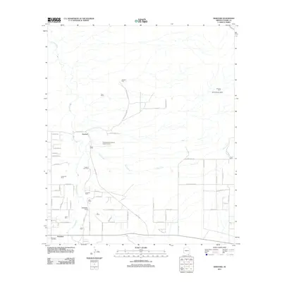
2011 Map of Hereford
USGS Topo · Published 2011About this map
The San Pedro River corridor defines the geography of this borderlands region, supporting a network of long-established ranching operations and small rural settlements. In the early 21st century, Hereford and Palominas serve as the primary hubs for this high-desert community, with local services anchored by the Palominas Post Office. The landscape is a study in riparian ecology and agricultural land use, featuring named properties such as the Hereford Dairy Ranch, Dinwiddie Ranch, and Coughran Ranch that follow the water and drainage patterns of Spring Creek and Greenbush Draw. Transportation and local infrastructure are represented by the Thompson International Aviation Airport and a grid of secondary roads including S Wind Fall Ranch Rd and E Hereford Rd. This survey captures the persistent ranching identity of Cochise County, where family-named landmarks like the Stagg Ranch and Fox Ranch illustrate the localized history of land ownership in the San Pedro Valley.
Find a feature on this map
68 named features on this map. Tap any name to fly to it.
Don’t see what you’re looking for? This feature index may not catch every label — zoom into the map to look around manually.
Map Details
Editions of this 2011 Hereford Map
This is the sole edition of this map. No revisions or reprints were ever made.
Other maps of this area

1902 · Bisbee
USGS Topo · 1:62,500

1910 · Bisbee
USGS Topo · 1:62,500

1914 · Hereford
USGS Topo · 1:125,000

1915 · Benson
USGS Topo · 1:125,000

1916 · Pearce
USGS Topo · 1:125,000

1916 · Douglas
USGS Topo · 1:125,000

1919 · Douglas
USGS Topo · 1:125,000

1925 · Gleeson
USGS Topo · 1:62,500

1927 · Bisbee
USGS Topo · 1:62,500

1932 · Stark
USGS Topo · 1:62,500