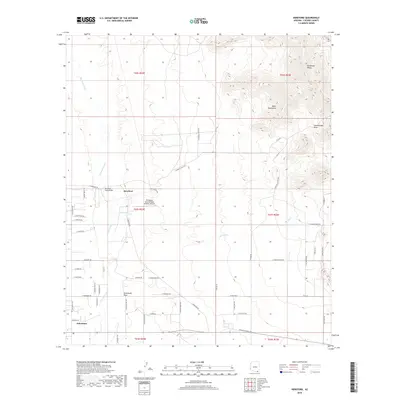
2018 Map of Hereford
USGS Topo · Published 2018About this map
Hereford and Palominas anchor this high-desert landscape in Cochise County, where the valley floor of the San Pedro River meets the rising slopes of the Mule Mountains and Escabrosa Ridge. The settlement pattern follows a distinct grid of ranch roads, including S Windfall Ranch Rd and S Shiloh Ranch Rd, which branch out across the basin. The San Pedro River serves as the primary drainage, joined by ephemeral features like Greenbush Draw and Schoolhouse Draw. A significant modern landmark is the Thompson International Aviation Airport, situated near the center of the quadrangle. The map captures the interface between the riparian corridor and the expansive cattle ranching and residential tracts characteristic of this borderlands region, providing precise detail for property lines and local landmarks like the Hereford Road Bridge.
Find a feature on this map
60 named features on this map. Tap any name to fly to it.
Don’t see what you’re looking for? This feature index may not catch every label — zoom into the map to look around manually.
Map Details
Editions of this 2018 Hereford Map
This is the sole edition of this map. No revisions or reprints were ever made.
Other maps of this area

1902 · Bisbee
USGS Topo · 1:62,500

1910 · Bisbee
USGS Topo · 1:62,500

1914 · Hereford
USGS Topo · 1:125,000

1915 · Benson
USGS Topo · 1:125,000

1916 · Pearce
USGS Topo · 1:125,000

1916 · Douglas
USGS Topo · 1:125,000

1919 · Douglas
USGS Topo · 1:125,000

1925 · Gleeson
USGS Topo · 1:62,500

1927 · Bisbee
USGS Topo · 1:62,500

1932 · Stark
USGS Topo · 1:62,500