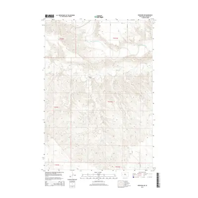
2015 Map of Hereford SW
USGS Topo · Published 2015About this map
The Belle Fourche River winds through the northern portion of this Meade County landscape, carving a distinct valley through the high plains of South Dakota. In this rural region, the terrain is defined by drainage features like Alkali Cr and the topographical depression of Boydson Draw, which shape the local ranching and agricultural environment. The map captures a grid of rural infrastructure, where local routes such as Wurnig Rd and 209th St connect isolated land parcels. This 2015 survey illustrates the modern persistence of the Public Land Survey System, showing the Township and Range boundaries including t5n r10e and t4n r10e that have governed land ownership in the American West for generations. The sparsely settled nature of the area highlights the vast distances between named landmarks in the western Dakotas.
Find a feature on this map
14 named features on this map. Tap any name to fly to it.
Don’t see what you’re looking for? This feature index may not catch every label — zoom into the map to look around manually.
Map Details
Editions of this 2015 Hereford SW Map
This is the sole edition of this map. No revisions or reprints were ever made.
Other maps of this area

1893 · Rapid
USGS Topo · 1:125,000

1898 · Rapid
USGS Topo · 1:125,000

1903 · Rapid
USGS Topo · 1:125,000

1953 · Bend
USGS Topo · 1:24,000

1953 · Viewfield
USGS Topo · 1:24,000

1953 · Hereford SE
USGS Topo · 1:24,000

1953 · Hereford
USGS Topo · 1:24,000

1953 · Hereford SW
USGS Topo · 1:24,000

1953 · Rapid City 1 NE
USGS Topo · 1:24,000

1953 · Rapid City 1 SE
USGS Topo · 1:24,000