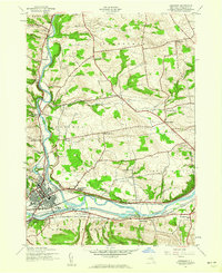
1943 Map of Herkimer
USGS Topo · Published 1960About this map
The Mohawk River and the Barge Canal dominate the southern corridor of this 1943 survey, serving as the central axis for regional transport and settlement. The industrial and residential centers of Herkimer and Mohawk sit at the confluence with West Canada Creek, where the New York Central railroad infrastructure tracks the water's edge. Beyond the river valley, the landscape is defined by a dense network of rural school districts, including Fiddletown Sch, Shells Bush Sch, and Top Notch Sch, indicating a well-populated agricultural hinterland during the mid-20th century. Notable local landmarks like Fort Herkimer and the County Home near Schrader Hill anchor the historical geography of Fairfield and German Flatts, while small crossroads like Kast Bridge and Dillenbeck Corners mark the intersection of early hilltop farms and valley industries.
Find a feature on this map
42 named features on this map. Tap any name to fly to it.
Don’t see what you’re looking for? This feature index may not catch every label — zoom into the map to look around manually.
Map Details
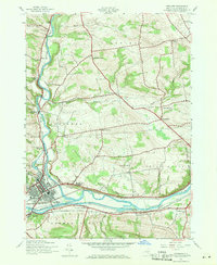
Editions of this 1943 Herkimer Map
2 editions found
Other maps of this area

1898 · Utica
USGS Topo · 1:62,500

1900 · Little Falls
USGS Topo · 1:62,500

1900 · Utica
USGS Topo · 1:62,500

1903 · Richfield Springs
USGS Topo · 1:62,500

1903 · Little Falls
USGS Topo · 1:62,500

1907 · Winfield
USGS Topo · 1:62,500

1939 · Little Falls
USGS Topo · 1:62,500

1943 · Newport
USGS Topo · 1:24,000

1943 · Jordanville
USGS Topo · 1:24,000

1943 · Millers Mills
USGS Topo · 1:24,000