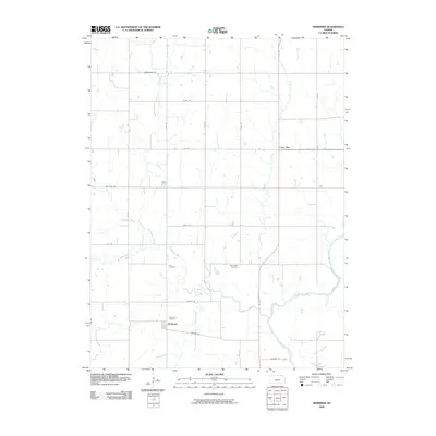
2009 Map of Herkimer
USGS Topo · Published 2009About this map
Herkimer sits at the heart of this rural landscape, positioned just south of a bend in the Big Blue River. This area is defined by a dense network of waterways feeding the river system, including the meandering paths of Horseshoe Creek and Deer Creek. The map documents a well-established agricultural grid connected by local routes such as Granite Rd and Harvest Rd, which link scattered farmsteads and small crossroads like Lone Elm.
Find a feature on this map
24 named features on this map. Tap any name to fly to it.
Don’t see what you’re looking for? This feature index may not catch every label — zoom into the map to look around manually.
Map Details
Editions of this 2009 Herkimer Map
This is the sole edition of this map. No revisions or reprints were ever made.
Other maps of this area

1889 · Marysville
USGS Topo · 1:125,000

1894 · Marysville
USGS Topo · 1:125,000

1955 · Manhattan
USGS Topo · 1:250,000

1955 · Lincoln
USGS Topo · 1:250,000

1956 · Manhattan
USGS Topo · 1:250,000

1957 · Manhattan
USGS Topo · 1:250,000

1957 · Lincoln
USGS Topo · 1:250,000

1958 · Lincoln
USGS Topo · 1:250,000

1966 · Oketo
USGS Topo · 1:24,000

1966 · Marysville
USGS Topo · 1:24,000