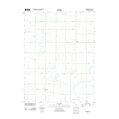
2012 Map of Herkimer
USGS Topo · Published 2012About this map
The settlement of Herkimer and the nearby Lone Elm area are central to this portion of Marshall County, situated within a landscape defined by the drainage of the Big Blue River. This region exhibits a traditional midwestern grid of local roads, such as Arrowhead Rd and Bison Rd, which overlay a network of winding waterways including Indian Creek and Deer Creek. For those exploring local family history, the map provides precise locations for Zion Cemetery, Deer Creek Cemetery, and Immanuel Cemetery, all of which serve as landmarks in this agricultural setting. The convergence of numerous named creeks like Horseshoe Creek and Mountain Creek into the Big Blue River illustrates the importance of these water sources to the local geography and historical settlement patterns.
Find a feature on this map
30 named features on this map. Tap any name to fly to it.
Don’t see what you’re looking for? This feature index may not catch every label — zoom into the map to look around manually.
Map Details
Editions of this 2012 Herkimer Map
This is the sole edition of this map. No revisions or reprints were ever made.
Other maps of this area

1889 · Marysville
USGS Topo · 1:125,000

1894 · Marysville
USGS Topo · 1:125,000

1955 · Manhattan
USGS Topo · 1:250,000

1955 · Lincoln
USGS Topo · 1:250,000

1956 · Manhattan
USGS Topo · 1:250,000

1957 · Manhattan
USGS Topo · 1:250,000

1957 · Lincoln
USGS Topo · 1:250,000

1958 · Lincoln
USGS Topo · 1:250,000

1966 · Oketo
USGS Topo · 1:24,000

1966 · Marysville
USGS Topo · 1:24,000