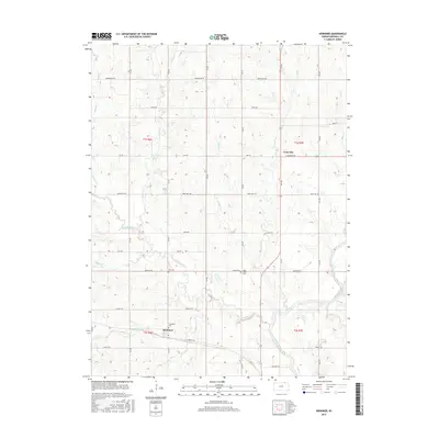
2015 Map of Herkimer
USGS Topo · Published 2015About this map
Herkimer anchors the southern portion of this northern Kansas landscape, where the prairie is deeply etched by the Big Blue River and its numerous tributaries. Settled within the township divisions of t2s r6e and t2s r7e, the area maintains a distinct rural character defined by a grid of named section roads such as Granite Rd and Harvest Rd. These roads provide access to local landmarks that reveal the community's heritage, including the Immanuel Cem near the town center and the Zion Cem situated further north.
Find a feature on this map
30 named features on this map. Tap any name to fly to it.
Don’t see what you’re looking for? This feature index may not catch every label — zoom into the map to look around manually.
Map Details
Editions of this 2015 Herkimer Map
This is the sole edition of this map. No revisions or reprints were ever made.
Other maps of this area

1889 · Marysville
USGS Topo · 1:125,000

1894 · Marysville
USGS Topo · 1:125,000

1955 · Manhattan
USGS Topo · 1:250,000

1955 · Lincoln
USGS Topo · 1:250,000

1956 · Manhattan
USGS Topo · 1:250,000

1957 · Manhattan
USGS Topo · 1:250,000

1957 · Lincoln
USGS Topo · 1:250,000

1958 · Lincoln
USGS Topo · 1:250,000

1966 · Oketo
USGS Topo · 1:24,000

1966 · Marysville
USGS Topo · 1:24,000