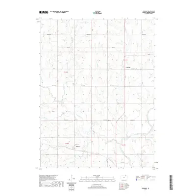
2018 Map of Herkimer
USGS Topo · Published 2018About this map
Herkimer sits at the southern edge of this Marshall County landscape, where the local road network of Harvest Rd and 6th Rd converges. The area is defined by its rural heritage, anchored by long-standing community landmarks such as Immanuel Cem, Zion Cem, and Deer Creek Cem. The terrain is deeply etched by a network of waterways, including Indian Cr and Meadow Cr, which drain south toward the prominent bend of the Big Blue River.
Find a feature on this map
35 named features on this map. Tap any name to fly to it.
Don’t see what you’re looking for? This feature index may not catch every label — zoom into the map to look around manually.
Map Details
Editions of this 2018 Herkimer Map
This is the sole edition of this map. No revisions or reprints were ever made.
Other maps of this area

1889 · Marysville
USGS Topo · 1:125,000

1894 · Marysville
USGS Topo · 1:125,000

1955 · Manhattan
USGS Topo · 1:250,000

1955 · Lincoln
USGS Topo · 1:250,000

1956 · Manhattan
USGS Topo · 1:250,000

1957 · Manhattan
USGS Topo · 1:250,000

1957 · Lincoln
USGS Topo · 1:250,000

1958 · Lincoln
USGS Topo · 1:250,000

1966 · Oketo
USGS Topo · 1:24,000

1966 · Marysville
USGS Topo · 1:24,000