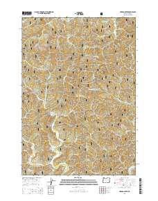
2014 Map of Herman Creek
USGS Topo · Published 2014About this map
Siuslaw National Forest encompasses much of this 2014 survey, a landscape defined by its complex drainage network and steep elevations. The small settlement of Reed sits centrally along Indian Cr, serving as a focal point for the surrounding timberlands and canyons. The terrain is marked by significant topographical rises like Taylor Ridge and Failor Ridge, which separate the various creek systems that eventually feed into the Five Rivers and Green River basins.
Find a feature on this map
40 named features on this map. Tap any name to fly to it.
Don’t see what you’re looking for? This feature index may not catch every label — zoom into the map to look around manually.
Map Details
Editions of this 2014 Herman Creek Map
This is the sole edition of this map. No revisions or reprints were ever made.
Other maps of this area

1918 · Mapleton
USGS Topo · 1:48,000

1940 · Mapleton
USGS Topo · 1:62,500

1941 · Blachly
USGS Topo · 1:62,500

1942 · Alsea
USGS Topo · 1:62,500

1942 · Blachly
USGS Topo · 1:62,500

1942 · Tidewater
USGS Topo · 1:62,500

1945 · Mapleton
USGS Topo · 1:62,500

1953 · Salem
USGS Topo · 1:250,000

1954 · Salem
USGS Topo · 1:250,000

1956 · Alsea
USGS Topo · 1:62,500