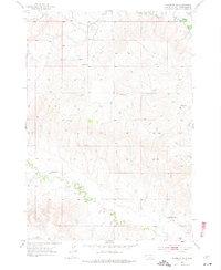
1953 Map of Hermosa NE
USGS Topo · Published 1976About this map
Scattered one-room schools define the early 1950s social geography of this Pennington County landscape, where the prairie meets the drainage systems of the Black Hills. Education for rural families was anchored by structures like Reich Sch and Mann Sch, with Dodge Sch and North Star Sch positioned to serve neighboring farmsteads. These small landmarks provided communal focal points in an area dominated by dry creek beds and seasonal watercourses.
Find a feature on this map
11 named features on this map. Tap any name to fly to it.
Don’t see what you’re looking for? This feature index may not catch every label — zoom into the map to look around manually.
Map Details
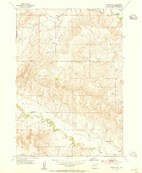
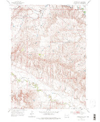
Editions of this 1953 Hermosa NE Map
3 editions found
Other maps of this area

1893 · Rapid
USGS Topo · 1:125,000

1894 · Hermosa
USGS Topo · 1:125,000

1898 · Rapid
USGS Topo · 1:125,000

1901 · Hermosa
USGS Topo · 1:125,000

1903 · Rapid
USGS Topo · 1:125,000

1953 · Boxelder
USGS Topo · 1:24,000

1953 · Hermosa NW
USGS Topo · 1:24,000

1953 · Rapid City East
USGS Topo · 1:24,000

1953 · Hermosa
USGS Topo · 1:24,000

1953 · New Underwood SW
USGS Topo · 1:24,000